

A cold and active weather pattern returns leading up to Thanksgiving. A storm may be brewing by Thanksgiving weekend.
TODAY
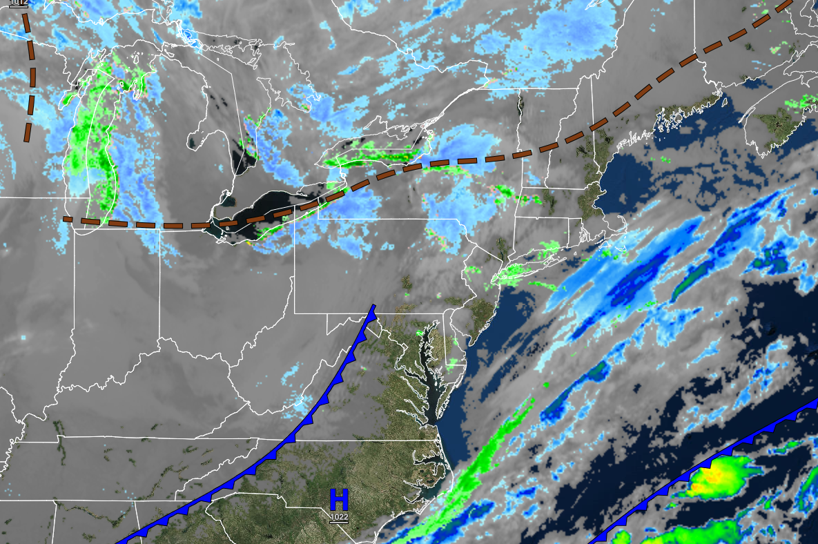
High pressure will produce clear skies to scattered clouds. A few snow showers are possible in the Catskills and Poconos. Winds will be from the west at 10 to 20 mph. Temperatures will rise into the upper 30s to lower 40s over the interior and lower to mid-40s along the coast for highs.
TONIGHT
High pressure will produce clear skies to scattered clouds. A few snow showers are possible in the Catskills and Poconos. Winds will be from the west at 5 to 15mph. Temperatures will fall into the mid to upper 20s over the interior and lower to mid-30s along the coast for lows.
TOMORROW
High pressure will produce clear skies to scattered clouds. A few snow showers are possible in the Catskills and Poconos. Winds will be from the southwest at 5 to 10 mph. Temperatures will rise into the lower to mid-30s over the interior and upper 30s to lower 40s along the coast for highs.
TOMORROW NIGHT
High pressure will produce clear skies to scattered clouds. Winds will be from the southwest at 5 to 15 mph. Temperatures will fall into the lower to mid-20s over the interior and mid to upper 20s along the coast for lows.
SATURDAY
High pressure will exit the region with increasing clouds. Winds will be from the southwest at 5 to 15 mph. Temperatures will rise into the lower to mid-30s over the interior and upper 30s to lower 40s along the coast for highs.
SUNDAY
A trough will pass through the region with a few isolated rain and snow showers and scattered clouds. Temperatures will range from the lower to mid-20s over the interior and upper 20s to lower 30s along the coast for lows and lower to mid-30s over the interior and upper 30s to lower 40s along the coast for highs.
MONDAY
High pressure will produce clear skies to scattered clouds. Temperatures will range from the mid to upper 10s over the interior and lower to mid-20s along the coast for lows and upper 20s to lower 30s over the interior and lower to mid-30s along the coast for highs.
TUESDAY
High pressure will produce clear skies to scattered clouds. Temperatures will range from the lower to mid-20s over the interior and upper 20s to lower 30s along the coast for lows and lower to mid-40s for highs.
WEDNESDAY
High pressure will produce clear skies to scattered clouds. Temperatures will range from the mid to upper 20s over the interior and upper 20s to lower 30s along the coast for lows and lower to mid-40s over the interior and mid to upper 40s along the coast for highs.
THANKSGIVING
A powerful cold front will move through early in the morning with scattered clouds and windy conditions. Temperatures will range from the upper 10s to the lower 20s over the interior and mid to upper 20s along the coast for lows and upper 20s to lower 30 over the interior and lower to mid-30s along the coast for highs.
THANKSGIVING WEEKEND
There is potential for a significant winter storm to impact the region for the weekend, but details remain uncertain at this time.


