

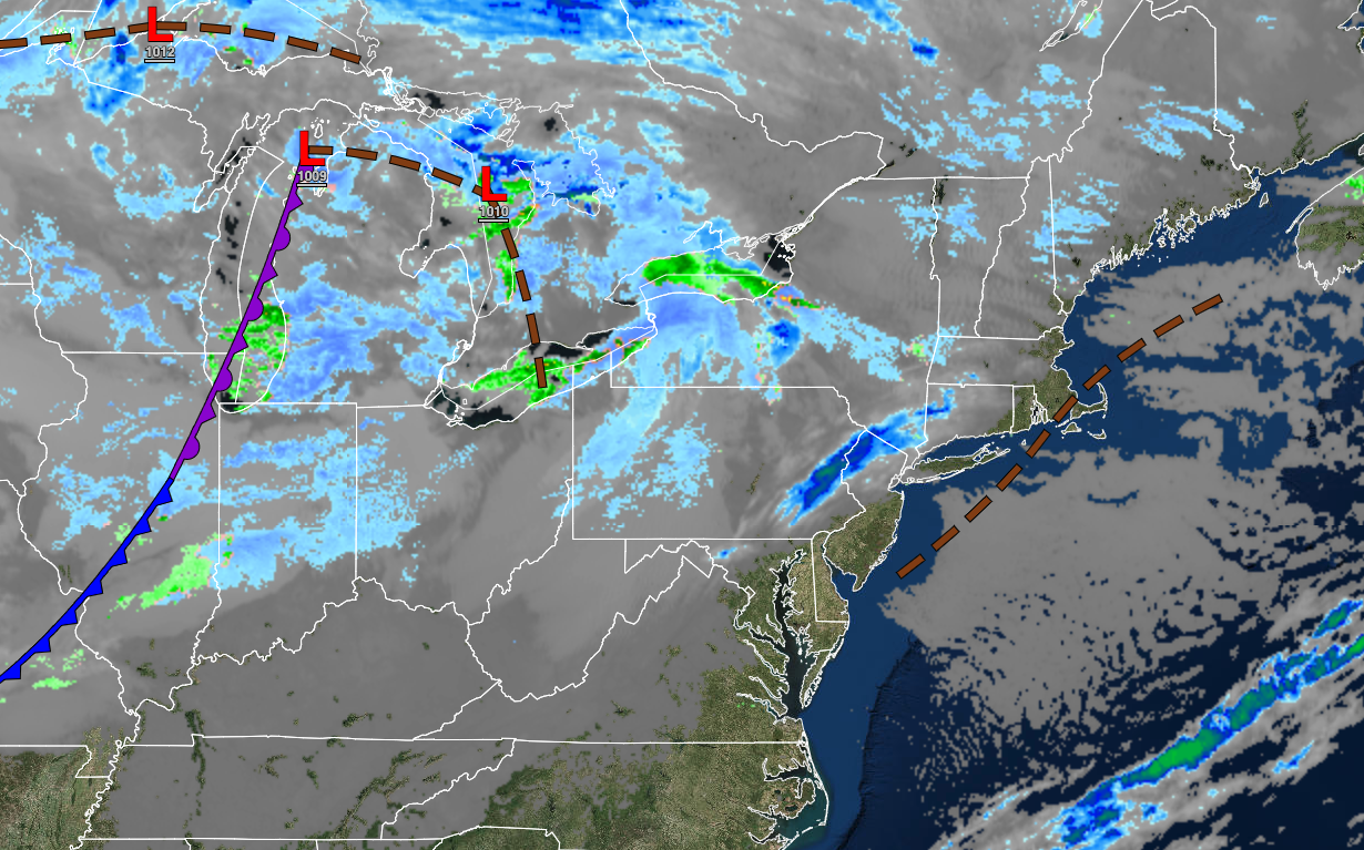
Waves of cold fronts and troughs will bring the threat of chilly conditions and snow showers. A stormy weekend is possible for Thanksgiving weekend.
TONIGHT
A series of troughs will move through the region with scattered clouds and isolated snow showers. Winds will be from the west at 5 to 15 mph. Temperatures will range from the mid to upper 20s over the interior and lower to mid-30s along the coast for lows.
TOMORROW
A series of troughs and cold fronts will move through the region with scattered clouds and widely scattered snow showers. The snow showers will be capable of reducing visibility below 2 miles at times with minor snow accumulation possible on cold surfaces. Winds will be from the west at 10 to 20 mph. Temperatures will rise into the lower to mid-30s over the interior and upper 30s to lower 40s along the coast for highs.
TOMORROW NIGHT
High pressure will produce clear skies to scattered clouds. Winds will be from the west at 5 to 15 mph. Temperatures will fall into the lower to mid-20s over the interior and upper 20s to lower 30s along the coast for lows.
SATURDAY
High pressure will exit the region with increasing clouds. Winds will be from the southwest at 5 to 15 mph. Temperatures will rise into the lower to mid-30s over the interior and upper 30s to lower 40s along the coast for highs.
SUNDAY
A trough will pass through the region with a few isolated rain and snow showers and scattered clouds. Winds will be from the southwest at 10 to 20 mph. Temperatures will range from the lower to mid-20s over the interior and upper 20s to lower 30s along the coast for lows and upper 20s to lower 30s over the interior and mid to upper 30s along the coast for highs.
MONDAY
High pressure will produce clear skies to scattered clouds. Temperatures will range from the upper 10s to the lower 20s over the interior and mid to upper 20s along the coast for lows and upper 30s to lower 40s for highs.
TUESDAY
High pressure will produce clear skies to scattered clouds. Temperatures will range from the mid to upper 20s over the interior and lower to mid-30s along the coast for lows and lower to mid-40s over the interior and upper 40s to lower 50s along the coast for highs.
WEDNESDAY
High pressure will exit the region. Temperatures will range from the lower to mid-30s for lows and mid to upper 40s over the interior and lower to mid-50s along the coast for highs.
THANKSGIVING
A powerful cold front will move through early in the morning with scattered clouds and windy conditions. Temperatures will range from the lower to mid-20s over the interior and upper 20s to mid-30s along the coast for lows and lower to mid-30s over the interior and mid-30s to lower 40s along the coast for highs.
BLACK FRIDAY
An area of low pressure will develop off the coast with variable cloud cover and widely scattered rain and snow showers. Temperatures will range from the lower to mid-20s over the interior and upper 20s to lower 30s along the coast for lows and mid to upper 30s over the interior and lower to mid-40s along the coast for highs.
THANKSGIVING WEEKEND
An area of low pressure will have the potential to impact the region on Saturday and Sunday with significant rain and snow along with windy conditions. However, the exact location and track of the storm remain uncertain.


