

A muggy, maritime air mass will continue to linger over the region, but a cold front will be on the move to bring a much more comfortable weather pattern for the Halloween weekend.
TONIGHT
Broken to overcast skies with scattered showers are expected. Winds will veer to the east at 5 to 15 mph. Temperatures will fall into the lower to mid-60s for lows.
TOMORROW
A trough will continue to linger along the coast with cloudy skies and scattered showers. Winds will be from the southwest at 5 to 15 mph. Temperatures will rise into the mid to upper 60s along the coast and upper 60s to lower 70s away from the coast for highs.
TOMORROW NIGHT
Broken to overcast skies with widely scattered showers are expected. Winds will veer to the northwest at 5 to 15 mph. Temperatures will fall into the lower to mid-50s for lows.
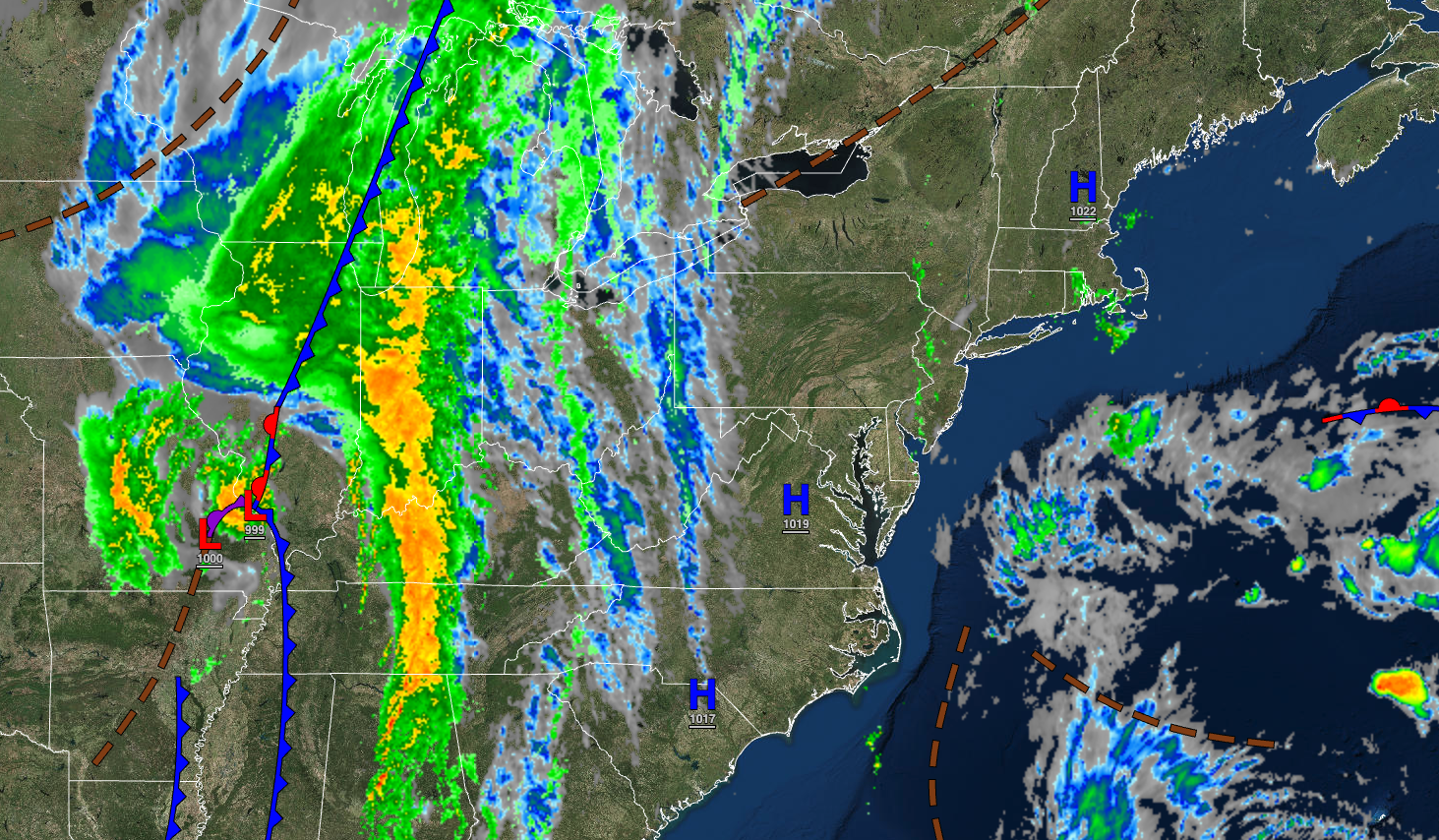
THURSDAY
A cold front will pass through the region with scattered clouds and isolated showers. Winds will be from the northwest at 5 to 15 mph. Temperatures will rise into the mid-50s to lower 60s over the interior and mid-60s to lower 70s along the coast for highs.
FRIDAY
High pressure will produce clear skies to scattered clouds. Winds will be from the northeast at 5 to 15 mph. Temperatures will range from the mid-30s to lower 40s over the interior and mid to upper 40s along the coast for lows and mid to upper 50s over the interior and upper 50s to lower 60s along the coast for highs.
SATURDAY
High pressure will produce clear skies to scattered clouds. Temperatures will range from the lower to mid-30s over the interior, upper 30s to lower 40s in the suburbs, and lower to mid-40s in urban areas for lows and mid to upper 50s over the interior and upper 50s to lower 60s along the coast for highs.
SUNDAY
High pressure will produce clear skies to scattered clouds. Temperatures will range from the upper 30s to lower 40s for lows and lower to mid-60s for highs.
MONDAY(HALLOWEEN)
High pressure will exit with increasing clouds. Overcast skies with scattered showers are expected in the evening. Temperatures will range from the lower to mid-40s for lows and lower to mid-60s over the interior, mid to upper 60s along the coast, and upper 60s to lower 70s in the Delaware River Valley for highs.
TUESDAY
An area of low pressure will produce increasing clouds with scattered showers. Temperatures will range from the lower to mid-50s over the interior and upper 50s to lower 60s along the coast for lows and lower to mid-60s over the interior and upper 60s to lower 70s along the coast for highs.
WEDNESDAY
High pressure will produce clear skies to scattered clouds. Temperatures will range from the upper 40s to lower 50s over the interior and mid to upper 50s along the coast for lows and lower to mid-60s over the interior and upper 60s to lower 70s along the coast for highs.


