

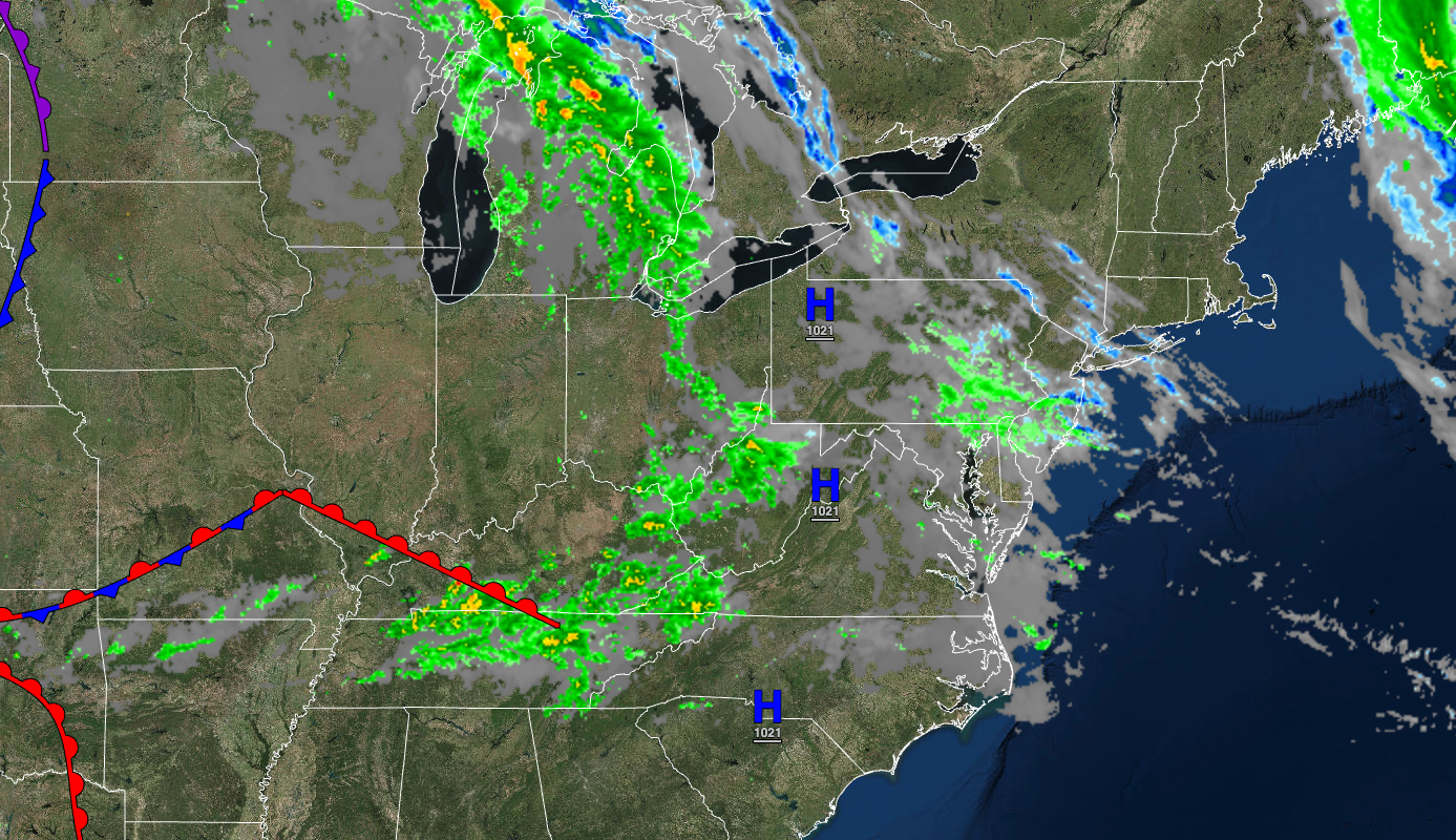
Tranquil conditions today will give way to showers and thunderstorms by tomorrow and an unsettled weather pattern for next week.
TODAY
High pressure will be in control with scattered clouds. Winds will be from the west at 5 to 15 mph. Temperatures will rise into the upper 50s to lower 60s over the interior and mid-60s to lower 70s along the coast for highs.
TONIGHT
High pressure will exit the region with increasing clouds. Winds will be from the southwest at 5 to 15 mph. Temperatures will fall into the lower to mid-60s for lows.
TOMORROW
A warm front will lift through the region with scattered showers and thunderstorms in the afternoon and evening. The thunderstorms will be capable of heavy downpours, occasional lightning, and wind gusts over 40 mph. Winds will be from the southwest at 5 to 15 mph. Temperatures will rise into the upper 60s to lower 70s over the interior and lower to mid-70s along the coast for highs.
TOMORROW NIGHT
Scattered showers will linger over the region as the warm front continues to lift to the region’s north. Winds will be from the southwest at 5 to 15 mph. Temperatures will fall into the lower to mid-50s over the interior and upper 50s to lower 60s along the coast for lows.
MONDAY
A cold front will move through the region with widely scattered showers. Winds will be from the southwest at 5 to 15 mph. Temperatures will rise into the mid to upper 60s over the interior and lower to mid-70s along the coast for highs.
TUESDAY
High pressure will produce clear skies to scattered clouds. Temperatures will range from the upper 40s to lower 50s over the interior and lower to mid-50s along the coast for lows and lower to mid-60s over the interior and upper 60s to mid-70s along the coast for highs.
WEDNESDAY
High pressure will produce clear skies to scattered clouds. Temperatures will range from the mid to upper 40s over the interior and upper 40s to lower 50s along the coast for lows and lower to mid-60s over the interior and upper 60s to lower 70s along the coast for highs.
THURSDAY
A cold front will move through the region with scattered clouds and isolated showers. Temperatures will range from the upper 40s to lower 50s over the interior and mid to upper 50s along the coast for lows and upper 50s to lower 60s over the interior and mid to upper 60s along the coast for highs.
FRIDAY
High pressure will produce clear skies. Temperatures will range from the lower to mid-40s over the interior and upper 40s to mid-50s along the coast for lows and upper 50s to mid-60s over the interior and upper 60s to lower 70s along the coast for highs.
SATURDAY
An area of low pressure will produce waves of rainfall, heavy at times. Temperatures will range from the upper 40s to lower 50s over the interior and mid-50s to lower 60s along the coast for lows and mid to upper 60s over the interior and upper 60s to lower 70s along the coast for highs.


