

Comfortable weather conditions through tonight, but signals are growing for a wetter weather pattern.
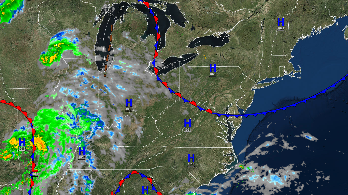
TODAY
High pressure will move over the region with clear skies. Winds will be light and variable. Temperatures will rise into the mid to upper 70s along the coast, upper 70s to lower 80s over the interior, and lower to mid-80s in the Delaware River Valley for highs.
TONIGHT
High pressure will exit off the coast with scattered clouds. Winds will be from the northeast at 5 to 10 mph. Temperatures will fall into the lower to mid-60s for lows.
TOMORROW
High pressure will exit with increasing cloud cover. Winds will be from the southeast at 5 to 15 mph. Temperatures will rise into the upper 70s to lower 80s along the coast, lower to mid-80s over the interior, and mid to upper 80s in the Delaware River Valley for highs.
TOMORROW NIGHT
Clouds will continue to increase. Winds will be from the southeast at 5 to 15 mph. Temperatures will fall into the upper 60s to lower 70s for lows.
SUNDAY
A cold front will approach the region with increasing clouds and scattered showers. A few showers will be capable of heavy downpours. Winds will be from the east-southeast at 5 to 15 mph. Temperatures will rise into the upper 70s to lower 80s along the coast, lower to mid-80s over the interior, and mid to upper 80s in the Delaware River Valley for highs.
LABOR DAY MONDAY
A stationary front will linger over the region with variable cloud cover and scattered showers. Winds will be from the southeast at 5 to 15 mph. Temperatures will range from the mid-60s to the lower 70s for lows and upper 60s to mid-70s over the interior, mid to upper 70s along the coast, and upper 70s to mid-80s in the Delaware River Valley for highs.
TUESDAY
A stationary front with a wave of low pressure will produce broken cloud cover and scattered showers. A few of the showers will be capable of heavy downpours. Temperatures will range from the mid-60s to lower 70s for lows and upper 60s to mid-70s for highs.
WEDNESDAY
A stationary front with a wave of low pressure will produce broken cloud cover and scattered showers. A few of the showers will be capable of heavy downpours. Temperatures will range from the lower to mid-60s over the interior and mid to upper 60s along the coast for lows and upper 60s to mid-70s for highs.
THURSDAY
A stationary front will linger over the region with scattered clouds and isolated showers. Temperatures will range from the upper 50s to mid-60s for lows and mid-60s to lower 70s for highs.
FRIDAY
A stationary front will linger over the region with scattered clouds and isolated showers. Temperatures will range from the lower to mid-60s over the interior and upper 60s to lower 70s along the coast for lows and mid to upper 70s over the interior, upper 70s to lower 80s along the coast, and lower to mid-80s in the Delaware River Valley for highs.


