

A cold front on the move will begin a more unsettled weather pattern with volatile temperatures and threats of showers into the Labor Day Weekend.
TONIGHT
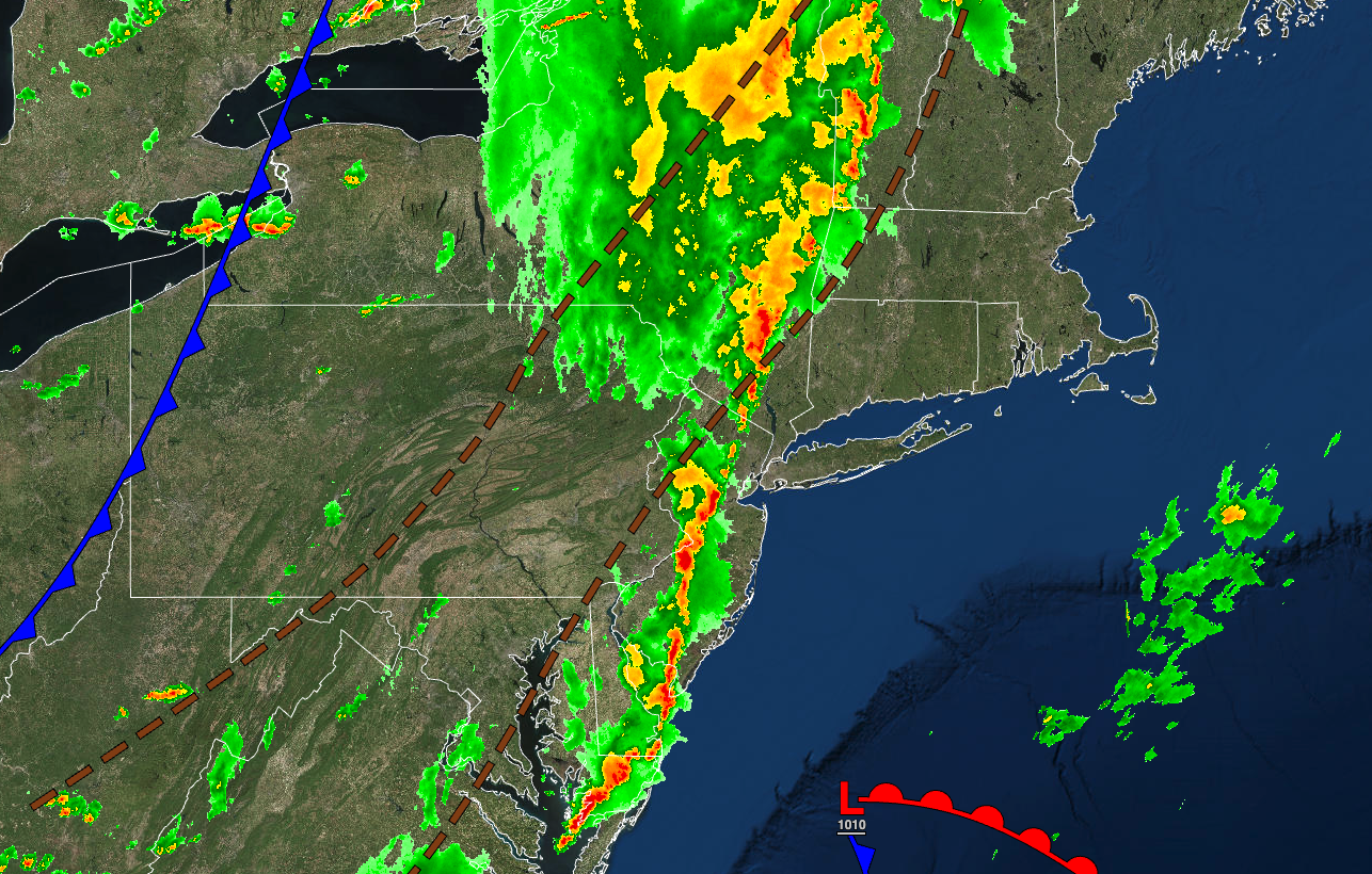
The cold front will move through the region with weakening showers and thunderstorms. The thunderstorms will be capable of heavy downpours, occasional lightning, and wind gusts over 40 mph. Winds will veer from the southwest to the west at 5 to 15 mph. Temperatures will fall into the lower to mid-60s over the interior and upper 60s to lower 70s along the coast for lows.
TOMORROW
The cold front will exit the region with a few lingering showers in the morning, followed by clearing skies. Winds will be from the west at 5 to 15 mph, with gusts over 20 mph. Temperatures will rise into the mid to upper 70s over the interior and lower to mid-80s along the coast for highs.
TOMORROW NIGHT
Skies will clear as high pressure builds into the region. Winds will veer from the west to the northwest at 5 to 15 mph. Temperatures will fall into the mid to upper 50s over the interior and lower to mid-60s along the coast for lows.
THURSDAY
High pressure will produce clear skies with scattered cloud cover. Winds will be from the northwest at 5 to 15 mph. Temperatures will rise into the lower to mid-70s over the higher elevations and upper 70s to lower 80s elsewhere for highs.
FRIDAY
High pressure will shift off the coast with scattered cloud cover. Winds will veer from the northwest to the northeast at 5 to 15 mph. Temperatures will range from the upper 40s to mid-50s over the interior and upper 50s to lower 60s along the coast for lows and mid-70s to lower 80s for highs.
SATURDAY
High pressure will shift to the northeast, increasing cloud cover throughout the day. Temperatures will range from the lower to mid-60s for lows and upper 70s to lower 80s along the coast and lower to mid-80s away from the coast for highs.
SUNDAY
A warm front will approach with broken cloud cover and scattered showers. Temperatures will range from the lower to mid-60s over the interior and upper 60s to lower 70s along the coast for lows and lower to mid-80s along the coast and mid to upper 80s away from the coast for highs.
LABOR DAY MONDAY
A stationary front will linger over the region with variable cloud cover and scattered showers. Temperatures will range from the lower to mid-60s over the interior and upper 60s to lower 70s along the coast for lows and upper 70s to lower 80s along the coast and lower to mid-80s away from the coast for highs.
TUESDAY
A stationary front with a wave of low pressure will produce broken cloud cover and scattered showers. A few of the showers will be capable of heavy downpours. Temperatures will range from the lower to mid-60s over the interior and upper 60s to lower 70s along the coast for lows and mid to upper 70s for highs.
WEDNESDAY
The stationary front will sink to the south with scattered cloud cover over the interior, overcast skies over the New York City metropolitan area, and showers over the Philadelphia metropolitan area. Temperatures will range from the mid to upper 60s for lows and mid to upper 70s for highs.


