

Pleasant conditions will continue today, but the return of pesky showers and onshore winds will be a theme for this week.
TODAY
High pressure will produce clear skies to scattered clouds. Winds will back to the southeast at 5 to 15 mph. Temperatures will rise into the upper 70s to lower 80s over the interior and lower to mid-80s along the coast for highs.
TONIGHT
Clouds will increase with winds veering from the southwest to the southeast at 5 to 15 mph. Temperatures will fall into the upper 50s to lower 60s over the interior and mid-60s along the coast for lows.
TOMORROW
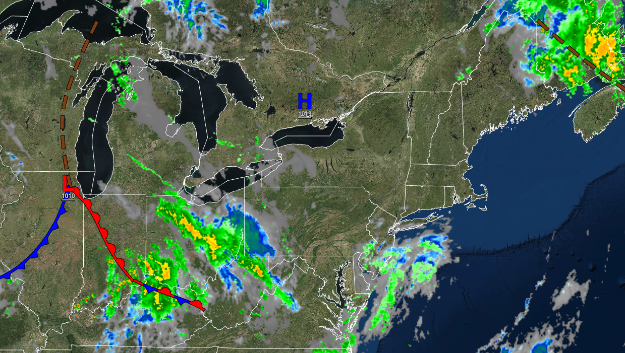
A cold front with a wave of low pressure will produce isolated to widely scattered showers. Winds will be from the northeast at 5 to 15 mph. Temperatures will rise into the mid to upper 70s over the interior and upper 70s to lower 80s along the coast for highs.
TOMORROW NIGHT
Variable clouds with isolated showers are expected. Winds will be from the northeast at 5 to 15 mph. Temperatures will fall into the mid to upper 50s over the interior and lower to mid-60s along the coast for lows.
TUESDAY
A stalled frontal boundary will produce broken clouds and scattered showers. Winds will be from the northeast at 5 to 15 mph. Temperatures will rise into the upper 70s to lower 80s along the coast, lower to mid-80s over the interior, and mid to upper 80s in the Delaware River Valley for highs.
WEDNESDAY
A wave of low pressure along a stationary front will produce variable cloud cover and scattered showers. Temperatures will range from the upper 50s to lower 60s over the interior and mid to upper 60s along the coast for lows and upper 70s to lower 80s over the interior and along the coast, and lower to mid-80s in the Delaware River Valley for highs.
THURSDAY
A weak cold front will produce widely scattered showers. Temperatures will range from the upper 50s to lower 60s over the interior and lower to mid-60s along the coast for lows and upper 70s to lower 80s over the interior and along the coast and lower to mid-80s in the Delaware River Valley for highs.
FRIDAY
A weak trough will linger around the region with scattered clouds and isolated showers. Temperatures will range from the upper 50s to lower 60s over the interior and lower to mid-60s along the coast for lows and lower to mid-80s for highs.
SATURDAY
A warm front will produce scattered clouds, a few isolated showers, and isolated thunderstorms. Temperatures will range from the mid to upper 60s over the interior and upper 60s to lower 70s along the coast for lows and lower to mid-80s along the coast and upper 80s to lower 90s away from the coast for highs.
SUNDAY
Scattered clouds with a few isolated showers are expected. Temperatures will range from the lower to mid-60s over the interior, upper 60s to lower 70s in the suburbs, and lower to mid-70s in urban areas for lows and lower to mid-80s over the interior, lower to mid-80s along the coast, and mid to upper 80s in the Delaware River Valley for highs.


