

After days of brutal heat and humidity, a stationary front will provide much cooler conditions to the region. An active pattern is expected throughout the week.
TODAY
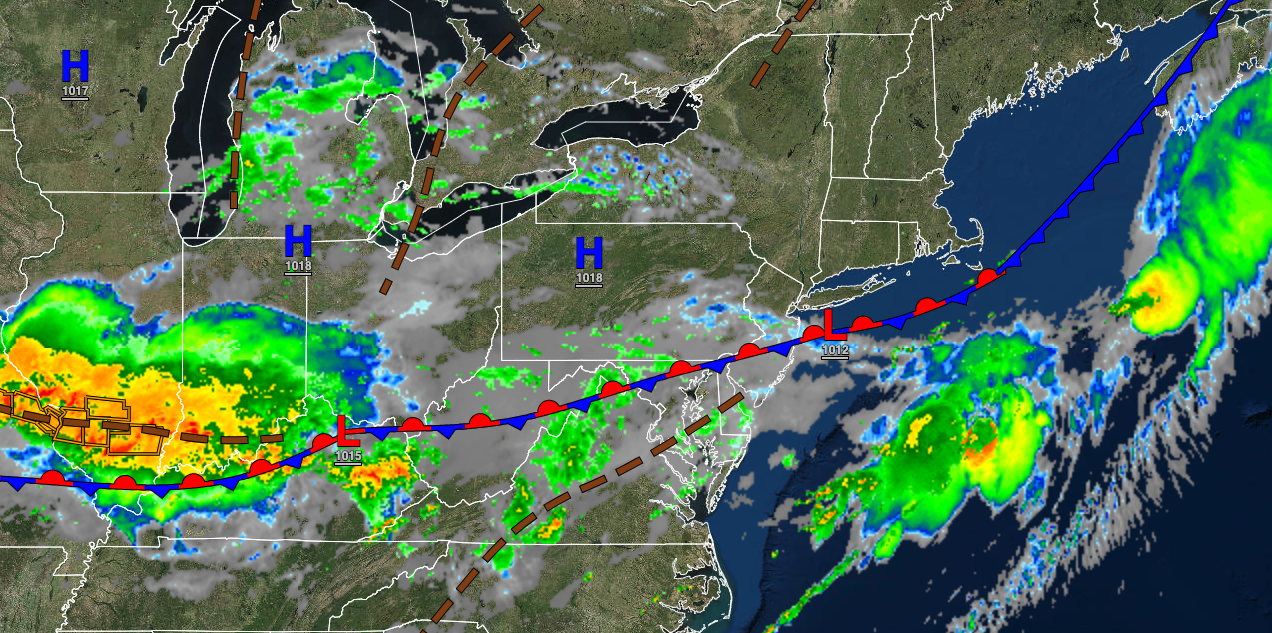
A stationary front will linger over the region with variable cloud cover and a few isolated to widely scattered showers. Winds will be from the west at 5 to 10 mph. Highs will be in the upper 70s to lower 80s throughout the region.
TONIGHT
Variable clouds with isolated showers will linger over the region. Winds will be from the west at 5 to 10 mph. Temperatures will fall into the upper 50s to lower 60s over the interior and mid to upper 60s along the coast for lows.
TOMORROW
A stationary front will produce variable cloud cover and isolated to widely scattered showers and thunderstorms. Winds will be from the southwest at 5 to 10 mph. Temperatures will rise into the mid to upper 80s for highs.
TOMORROW NIGHT
Variable clouds with isolated showers and thunderstorms are expected. Winds will be from the southwest at 5 to 10 mph. Temperatures will fall into the mid to upper 60s over the interior and lower to mid-70s along the coast for lows.
THURSDAY
The stationary front will shift north as a warm front with variable clouds, isolated showers, and thunderstorms. Winds will be from the southwest at 5 to 15 mph. Temperatures will rise into the lower to mid-80s along the coast, mid to upper 80s over the interior, and upper 80s to lower 90s in the Delaware River Valley for highs.
FRIDAY
A cold front will move through the region with showers and thunderstorms. Temperatures will range from the upper 60s to lower 70s over the interior and lower to mid-70s along the coast for lows and mid to upper 80s for highs.
SATURDAY THROUGH MONDAY
High pressure will build south from the Great Lakes with clear skies to scattered cloud cover. Temperatures for the period will range from the upper 50s to lower 60s over the interior and mid-60s to lower 70s along the coast for lows and lower to mid-80s along the coast, lower to mid-80s over the interior, and upper 80s to lower 90s in the Delaware River Valley for highs.
TUESDAY
An area of low pressure will approach the region with increasing clouds and scattered showers. Temperatures will range from the upper 60s to lower 70s over the interior and lower to mid-70s along the coast for lows and upper 70s to lower 80s over the interior, lower to mid-80s along the coast, and mid to upper 80s in the Delaware River Valley for highs.


