

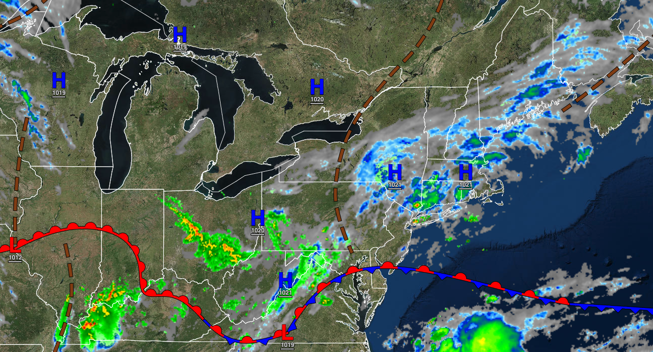
Pesky thunderstorms through the weekend will give way to a hot and humid weather pattern through next week.
TODAY
A trough will produce scattered clouds and isolated showers and thunderstorms. Winds will be from the south at 5 to 10 mph. Temperatures will rise into the lower to mid-80s on the coast and mid to upper 80s away from the coast for highs.
TONIGHT
A trough will produce scattered clouds with some areas of fog. Winds will be from the south at 5 to 10 mph. Temperatures will fall into the upper 60s to lower 70s for lows.
TOMORROW
A trough will produce fog in the morning and scattered clouds with isolated showers and thunderstorms in the afternoon and evening. Temperatures will rise into the lower to mid-80s along the coast and mid to upper 80s away from the coast for highs.
TOMORROW NIGHT
A trough will produce scattered clouds with some areas of fog. Winds will be from the south at 5 to 10 mph. Temperatures will fall into the upper 60s to lower 70s for lows.
MONDAY
A stationary boundary with a wave of low pressure will produce scattered showers and thunderstorms. Winds will veer to the west at 5 to 15 mph. Temperatures will rise into the upper 70s to lower 80s over the interior and lower to mid-80s along the coast for highs.
TUESDAY
A stationary boundary will drift north with fog in the morning, followed by scattered clouds and isolated thunderstorms in the afternoon and evening. Temperatures will range from the upper 60s to lower 70s over the interior and lower to mid-70s along the coast for lows and mid to upper 80s along the coast, upper 80s to lower 90s over the interior, and lower to mid-90s in the Delaware River Valley for highs.
WEDNESDAY AND THURSDAY
A trough will linger over the region with areas of fog in the morning hours and isolated showers and thunderstorms in the afternoon and evening. Temperatures on Wednesday will range from the lower to mid-70s for lows and mid to upper 80s along the coast and lower to mid-90s away from the coast for highs. Temperatures on Thursday will range from the mid to upper 70s over the interior and upper 70s to lower 80s along the coast for lows and mid to upper 80s along the coast, upper 80s to lower 90s over the interior, and lower to mid-90s in the Delaware River Valley for highs.
FRIDAY
A cold front will produce scattered showers and thunderstorms throughout the region. Temperatures will range from the upper 60s to lower 70s over the interior and mid-70s along the coast for lows and lower to mid-80s over the interior, lower to mid-80s along the coast, and upper 80s to lower 90s in the Delaware River Valley for highs.
SATURDAY
A weak trough will produce scattered clouds and isolated thunderstorms. Temperatures will range from the mid to upper 60s for lows and mid to upper 80s along the coast, mid to upper 80s over the interior, and upper 80s to lower 90s in the Delaware River Valley for highs.


