

Tranquil conditions are in place today, but an approaching warm front will bring the threat of thunderstorms tomorrow morning.
TODAY
Clear skies to scattered clouds are expected. Winds will be from the northeast at 5 to 15 mph. Temperatures will rise into the mid to upper 70s on the coast and lower to mid-80s away from the coast for highs.
TONIGHT
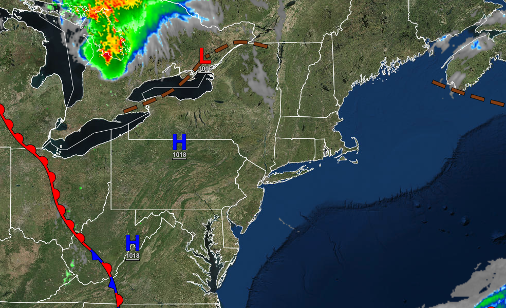
A warm front will approach with increasing clouds along with showers and thunderstorms in the morning. Winds veer to the southeast at 5 to 15 mph. Temperatures will fall into the lower to mid-60s for lows.
TOMORROW
The warm front will produce showers and thunderstorms in the morning followed by scattered clouds with isolated thunderstorms in the afternoon. The thunderstorms will be capable of heavy downpours, frequent lightning, hail, and wind gusts over 40 mph. Winds will veer from the southeast to the southwest at 5 to 15 mph. Temperatures will rise into the lower to mid-7os on Long Island, the upper 70s to lower 80s along the coast, and lower to mid-80s away from the coast for highs.
TOMORROW NIGHT
A cold front will approach with showers and thunderstorms expected. The thunderstorms will be capable of heavy downpours, frequent lightning, hail, and wind gusts over 40 mph. Winds will be from the southwest at 5 to 15 mph. Temperatures will fall into the mid-60s to lower 70s for lows.
FRIDAY
The cold front will clear the coast in the morning with lingering isolated showers possible. Scattered clouds are expected in the afternoon. Winds will veer to the west at 10 to 20 mph. Temperatures will rise into the lower to mid-80s over the interior and upper 80s to lower 90s along the coast for highs.
SATURDAY AND SUNDAY
High pressure will produce clear skies to scattered cloud cover through the weekend. Temperatures on Saturday will range from the upper 50s to mid-60s for lows and upper 60s to lower 70s over the interior and mid to upper 70s along the coast for highs. Temperatures on Sunday will range from the upper 40s to lower 50s over the interior and mid to upper 50s along the coast for lows and lower to mid-70s over the interior and mid to upper 70s along the coast for highs.
MONDAY
High pressure will exit with increasing cloud cover. Temperatures will range from the lower to mid-50s over the interior and mid to upper 50s along the coast for lows and mid-70s to lower 80s for highs.
TUESDAY
A warm front will approach with increasing clouds through the day followed by scattered showers and thunderstorms in the afternoon and evening. Temperatures will range from the lower to mid-60s for lows and lower to mid-70s in Long Island, upper 70s to mid-80s along the coast, mid to upper 80s over the interior, and upper 80s to mid-90s in the Delaware River Valley for highs.
WEDNESDAY
Areas of low clouds and fog in the morning and isolated showers and thunderstorms in the afternoon are expected. Temperatures will range from the upper 60s to lower 70s over the interior, lower to mid-70s along the coast, and mid-70s to lower 80s in the Delaware River Valley for lows and mid to upper 80s along the coast, upper 80s to lower 90s over the interior, and upper 80s to mid-90s in the Delaware River Valley for highs.


