

The week will start with excellent weather but multiple rainfall events are on the way for mid-week and the weekend.
TODAY
High pressure will produce clear skies to scattered clouds. Winds will be from the southeast at 5 to 10 mph. Temperatures will rise into the mid to upper 70s along the coast and upper 70s to lower 80s away from the coast for highs.
TONIGHT
Scattered clouds are expected with some areas of patchy fog. Winds will be from the southeast at 5 to 10 mph. Temperatures will fall into the upper 50s to lower 60s for lows.
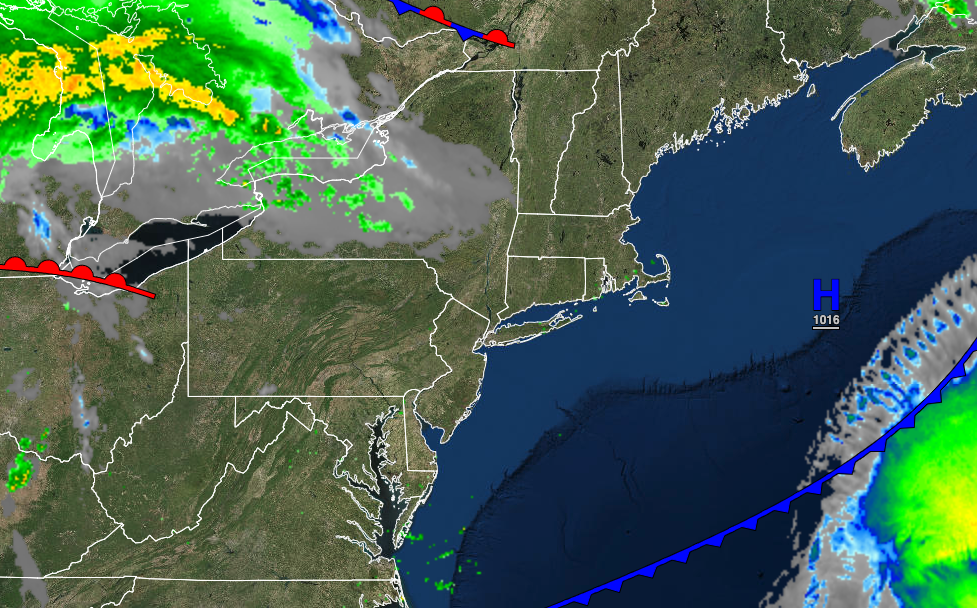
TOMORROW
High pressure will exit the region with increasing clouds. Rain will develop towards the late evening. Winds will be from the southeast at 10 to 20 mph. Temperatures will rise into the lower to mid-70s along the coast and upper 70s to lower 80s away from the coast for highs.
WEDNESDAY
An area of low pressure will produce periods of rain, heavy at times, with some areas of urban and small stream flooding. Winds will be from the south at 5 to 15 mph. Temperatures will range from the lower to mid-60s over the interior and mid to upper 60s along the coast for lows and lower to mid-70s over the interior, mid to upper 70s along the coast, and upper 70s to mid-80s in the Delaware River Valley for highs.
THURSDAY
The low-pressure system will exit in the morning with periods of rain tapering off to widely scattered showers in the afternoon. The skies will clear in the evening. Temperatures will range from the lower to mid-60s over the interior and mid to upper 60s along the coast for lows and lower to mid-70s over the interior, upper 70s to lower 80s along the coast, and upper 70s to mid-80s in the Delaware River Valley for highs.
FRIDAY
A weak trough will produce scattered clouds with a few isolated showers. Temperatures will range from the lower to mid-50s over the interior and upper 50s to lower 60s along the coast for lows and lower to mid-70s over the interior, mid to upper 70s along the coast, and upper 70s to lower 80s in the Delaware River Valley for highs.
SATURDAY
An area of low pressure will produce periods of rain, heavy at times. Temperatures will range from the upper 50s to lower 60s for lows and lower to mid-60s over the interior and mid to upper 60s along the coast for highs.
SUNDAY
Scattered clouds are expected. Temperatures will range from the upper 40s to lower 50s over the interior and mid to upper 50s along the coast for lows and upper 60s to lower 70s over the interior and mid to upper 70s along the coast for highs.
MONDAY
A weak trough will pass through the region with scattered clouds and isolated showers. Temperatures will range from the upper 40s to lower 50s over the interior and mid-50s to lower 60s along the coast for lows and upper 60s to lower 70s over the interior and mid to upper 70s along the coast for highs.


