

Another weekend of unsettled conditions due to an advancing warm front will keep low clouds and pesky showers in the forecast. A shift to a warmer weather pattern is around the corner.
TODAY
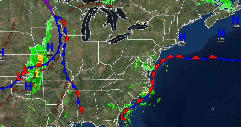
This morning, a warm front will stall over the coastal waters with fog and low clouds, giving way to scattered to broken cloud cover and isolated showers, especially along the coast by this afternoon. Winds will be from the northeast at 5 to 10 mph. Temperatures will rise into the upper 60s to lower 70s for highs.
TOMORROW
The coastal warm front will stall over the region with areas of fog in the morning, followed by scattered to broken cloud cover and widely scattered showers in the afternoon. The showers will be capable of brief heavy downpours. Winds will veer to the southeast at 5 to 15 mph. Temperatures will range from the upper 50s to lower 60s for lows and mid-60s to lower 70s on the coast and lower to mid-70s away from the coast for highs.
SUNDAY
The warm front will lift north of the region with areas of fog and low clouds in the morning, giving way to scattered clouds and isolated showers. Winds will veer to the south at 5 to 15 mph. Temperatures will range from the upper 50s to lower 60s for lows and upper 60s to lower 70s along the coast, and mid-70s to lower 80s away from the coast for highs.
MONDAY
The cold front will move through the region with scattered showers and thunderstorms in the afternoon. Temperatures will range from the upper 50s to mid-60s for lows and mid-60s to lower 70s along the coast and mid-70s to lower 80s away from the coast for highs.
TUESDAY
A weak trough will pass through the region with scattered clouds and a few isolated showers. Temperatures will range from the upper 40s to mid-50s for lows and mid to upper 60s over the interior and upper 60s to lower 70s along the coast for highs.
WEDNESDAY
High pressure will produce clear skies with scattered cloud cover. Temperatures will range from the lower to mid-40s over the interior and upper 40s to lower 50s along the coast for lows and lower to mid-60s over the interior and mid to upper 60s along the coast for highs.
THURSDAY
A warm front will approach the region with increasing clouds and scattered showers. Temperatures will range from the mid to upper 40s over the interior and upper 40s to lower 50s along the coast for lows and mid-50s to lower 60s in Connecticut and Long Island, mid-60s to lower 70s around the New York City metropolitan area, and lower to mid-70s throughout much of New Jersey and eastern Pennsylvania.
FRIDAY
The warm front will lift north of the region with scattered clouds and isolated thunderstorms. Temperatures will range from the mid to upper 50s over the interior and upper 50s to lower 60s along the coast for lows and lower to mid-70s along the coast and upper 70s to mid-80s away from the coast for highs.


