

A warm front from the Atlantic Ocean will provide an increasing threat for showers by tomorrow and unsettled conditions through this weekend. A shift in the pattern to warmer weather is expected next week.
TODAY
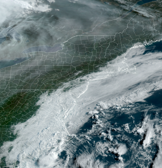
An area of low pressure will continue to linger off the coast with scattered clouds over the interior and overcast skies with a few isolated showers on the coast. Winds will be from the northeast at 5 to 10 mph. Temperatures today will rise into the upper 60s to lower 70s along the coast and lower to mid-70s away from the coast for highs.
TOMORROW THROUGH SATURDAY
A coastal warm front will slowly approach from the Atlantic Ocean with scattered to broken cloud cover and isolated showers over the interior and scattered showers along the coast. The showers will be capable of heavy downpours at times. Winds will back from the east at 5 to 15 mph to the southeast at 5 to 15 mph. Temperatures tomorrow will range from the mid to upper 50s for lows and lower to mid-60s along the coast and upper 60s to lower 70s along the coast for highs. Temperatures on Saturday will range from the upper 50s to lower 60s for lows and upper 60s to lower 70s along the coast, and lower to mid-70s away from the coast for highs.
SUNDAY
A cold front will approach from the west with scattered showers and isolated thunderstorms. Temperatures will range from the upper 50s to lower 60s for lows and upper 60s to lower 70s along the coast, and mid to upper 70s away from the coast for highs.
MONDAY
The cold front will move through the region with scattered showers and thunderstorms. Temperatures will range from the upper 50s to lower 60s for lows and mid-60s to lower 70s along the coast and mid-70s to lower 80s away from the coast for highs.
TUESDAY
A weak trough will pass through the region with scattered clouds and a few isolated showers. Temperatures will range from the upper 40s to mid-50s over the interior and upper 50s to lower 60s along the coast for lows and upper 60s to lower 70s along the coast and mid to upper 70s away from the coast for highs.
WEDNESDAY
High pressure will produce clear skies with scattered cloud cover. Temperatures will range from the lower to mid-40s over the interior and upper 40s to lower 50s along the coast for lows and lower to mid-60s over the interior and mid to upper 60s along the coast for highs.
THURSDAY
A warm front will approach the region with increasing clouds and scattered showers. Temperatures will range from the mid to upper 40s over the interior and upper 40s to lower 50s along the coast for lows and mid-50s to lower 60s in Connecticut and Long Island, mid-60s to lower 70s around the New York City metropolitan area, and lower to mid-70s throughout much of New Jersey and eastern Pennsylvania.


