

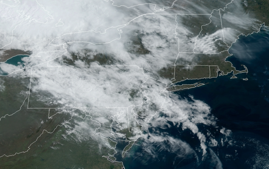
An air mass from the northwestern Atlantic will have an influence on the weather pattern through next week with plenty of cloud cover, pesky isolated showers, and cool temperatures.
TODAY
A cold front will sink south from New England with increasing clouds and isolated showers in the afternoon and evening. Winds will back to the southeast at 5 to 15 mph. Temperatures will rise into the mid-50s to lower 60s along the coast, upper 50s to lower 60s over the interior, and lower to mid-60s in the Delaware River Valley for highs.
TONIGHT
Cloudy skies with isolated showers are expected. Winds will be from the east at 5 to 10 mph. Temperatures will range from the mid to upper 40s for lows.
TOMORROW
The cold front boundary will stall over the region with scattered to broken cloud cover and isolated showers. Winds will be from the east at 5 to 15 mph along the New Jersey coast through southeastern New York and Connecticut and from the southwest at 5 to 15 mph over the rest of New Jersey and eastern Pennsylvania. Temperatures will rise into the mid-50s to lower 60s on Long Island and Connecticut, lower to mid-60s along the coast, and upper 60s to mid-70s away from the coast for highs.
MONDAY
A stationary front will sink to the southeast producing scattered to broken cloud cover and isolated showers. Winds will be from the east at 5 to 10 mph. Temperatures will range from the mid-40s to lower 50s for lows and lower to mid-50s on Long Island and Connecticut, upper 50s to lower 60s along the New Jersey coast, the New York City metropolitan area, and the Hudson River Valley, and lower to mid-60s for the rest of New Jersey, the Catskills, and eastern Pennsylvania,
TUESDAY
A cold front and a developing area of low pressure will produce periods of rain, especially in the evening. The rain will be heavy at times towards midnight. Temperatures will range from the upper 40s to mid-50s for lows and mid to upper 50s along the coast, upper 50s to lower 60s over the interior, and lower to mid-60s in the Delaware River Valley for highs.
WEDNESDAY
The area of low pressure will depart in the morning with lingering showers followed by cloudy skies and isolated showers in the afternoon. Temperatures will range from the upper 30s to lower 40s over the interior and mid to upper 40s along the coast for lows and upper 40s to lower 50s over the interior and lower to mid-50s along the coast for highs.
THURSDAY AND FRIDAY
An area of low pressure off the coast will produce scattered cloud cover to overcast cloud cover with isolated showers. Temperatures on Thursday will range from the lower to mid-30s over the interior and upper 30s to lower 40s along the coast for lows and lower to mid-40s over the interior and upper 40s to lower 50s along the coast for highs. Temperatures on Friday will range from the lower to mid-30s over the interior and upper 30s to lower 40s along the coast for lows and lower to mid-50s over the interior and mid to upper 50s along the coast for highs.
SATURDAY
High pressure will attempt to build south into the region with scattered cloud cover. An isolated shower is a threat. Temperatures will range from the lower to mid-30s over the interior and upper 30s to lower 40s along the coast for lows and lower to mid-50s over the interior, mid to upper 50s along the coast, and upper 50s to lower 60s in the Delaware River Valley for highs.


