

A volatile and unsettled weather pattern returns with the threat of showers this evening and volatile temperatures this weekend.
TODAY
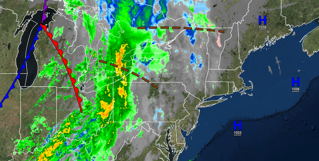
High pressure will exit the region with increasing cloud cover expected. A cold front will pass through the region in the evening with isolated showers. Winds will be from the south at 5 to 15 mph. Temperatures will rise into the mid to upper 50s on the immediate coast, upper 50s to lower 60s over the interior, and lower to mid-60s in the Delaware River Valley for highs.
TONIGHT
The cold front will exit the region by late in the evening followed by clearing skies towards the morning. Winds will veer from the southwest to the northwest at 5 to 15 mph. Temperatures will fall into the lower to mid-40s over the interior and mid to upper 40s along the coast for lows.
TOMORROW
High pressure will pass over the region with scattered cloud cover expected. Winds will be from the northwest at 5 to 15 mph. Temperatures will rise into the upper 50s to lower 60s over the interior and mid to upper 60s along the coast for highs.
SATURDAY
A cold front will sink south from New England with increasing clouds and isolated showers to widely scattered showers. Winds will back to the southeast at 5 to 15 mph. Temperatures will range from the upper 30s to lower 40s over the interior and mid to upper 40s along the coast for lows and mid-50s to lower 60s along the coast, upper 50s to lower 60s over the interior, and lower to mid-60s in the Delaware River Valley for highs.
SUNDAY
The cold front boundary will stall over the region with scattered to broken cloud cover and isolated showers. Temperatures will range from the mid to upper 40s over the interior and upper 40s to lower 50s along the coast for lows and mid-50s to lower 60s on Long Island and Connecticut, lower to mid-60s along the coast, and upper 60s to mid-70s away from the coast for highs.
MONDAY
A stationary front will produce scattered to broken cloud cover and isolated showers. Temperatures will range from the mid-40s to lower 50s for lows and lower to mid-50s on Long Island and Connecticut, upper 50s to lower 60s along the New Jersey coast, the New York City metropolitan area, and the Hudson River Valley, and lower to mid-60s for the rest of New Jersey, the Catskills, and eastern Pennsylvania,
TUESDAY
A cold front and a developing area of low pressure will produce periods of showers, especially in the evening. Temperatures will range from the upper 40s to mid-50s for lows and mid to upper 50s along the coast, upper 50s to lower 60s over the interior, and lower to mid-60s in the Delaware River Valley for highs.
WEDNESDAY
The area of low pressure will depart in the morning with lingering showers followed by cloudy skies and isolated showers in the afternoon. Temperatures will range from the upper 30s to lower 40s over the interior and mid to upper 40s along the coast for lows and upper 40s to lower 50s over the interior and lower to mid-50s along the coast for highs.
THURSDAY
An area of low pressure off the coast will produce scattered cloud cover to overcast cloud cover with isolated showers. Temperatures will range from the lower to mid-30s over the interior and upper 30s to lower 40s along the coast for lows and lower to mid-40s over the interior and upper 40s to lower 50s along the coast for highs.


