

Tranquil but chilly weather conditions have returned with a break from any significant storms through at least the weekend.
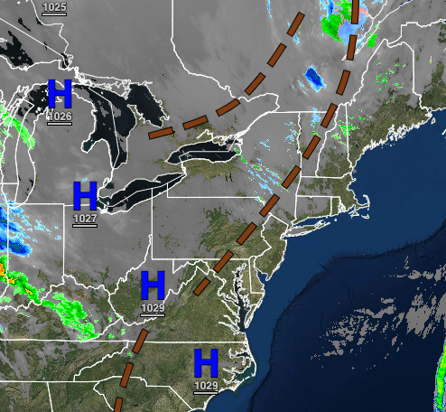
TODAY
High pressure will build into the region with scattered cloud cover. Winds will be from the west at 5 to 10 mph. Temperatures will rise into the mid-40s to lower 50s over the interior and mid to upper 50s along the coast for highs.
TONIGHT
Scattered clouds are expected with winds from the east at 5 to 10 mph. Temperatures will fall into the mid to upper 30s over the interior and upper 30s to lower 40s along the coast for lows.
TOMORROW
High pressure will exit the region with increasing cloud cover expected. A cold front will pass through the region in the evening with isolated showers to widely scattered showers. Winds will be from the south at 5 to 15 mph. Temperatures will rise into the mid to upper 50s on the immediate coast, upper 50s to lower 60s over the interior, and lower to mid-60s in the Delaware River Valley for highs.
FRIDAY
High pressure will remain over the coastal waters with scattered cloud cover expected. Winds will be from the northwest at 5 to 15 mph. Temperatures will range from the lower to mid-40s over the interior and mid to upper 40s along the coast for lows and upper 50s to lower 60s over the interior and mid-60s to lower 70s for highs.
SATURDAY
A cold front will sink south from New England with increasing clouds and isolated showers to widely scattered showers. Temperatures will range from the mid to upper 30s over the interior and lower to mid-40s along the coast for lows and upper 50s to lower 60s along the coast, lower to mid-60s over the interior, and mid to upper 60s in the Delaware River Valley for highs.
SUNDAY
The cold front boundary will stall over the region with scattered to broken cloud cover and isolated showers. Temperatures will range from the mid to upper 40s over the interior and upper 40s to lower 50s along the coast for lows and mid-50s to lower 60s on Long Island and Connecticut, lower to mid-60s along the coast, and upper 60s to mid-70s away from the coast for highs.
MONDAY
A stationary front will produce scattered to broken cloud cover and isolated showers. Temperatures will range from the upper 40s to lower 50s for lows and mid-50s to lower 60s on Long Island and Connecticut and mid-60s to lower 70s for the rest of the region for highs.
TUESDAY
A weak cold front will produce scattered clouds with isolated showers in the afternoon, becoming widespread towards evening. Temperatures will range from the upper 40s to lower 50s along the coast and mid to upper 50s elsewhere for lows and lower to mid-60s along the coast and upper 60s to mid-70s elsewhere for highs.
WEDNESDAY
A cold front will pass through the region early in the morning with periods of showers followed by clearing skies in the afternoon. Temperatures will range from the lower to mid-40s over the interior and upper 40s to lower 50s along the coast for lows and upper 40s to mid-50s over the interior and upper 50s to mid-60s along the coast for highs.


