

Waves of rainfall through tomorrow will bring rainfall totals over 2″ throughout the region introducing the potential for urban flooding and poor driving conditions. A drier and warmer weather pattern returns next week.
TODAY
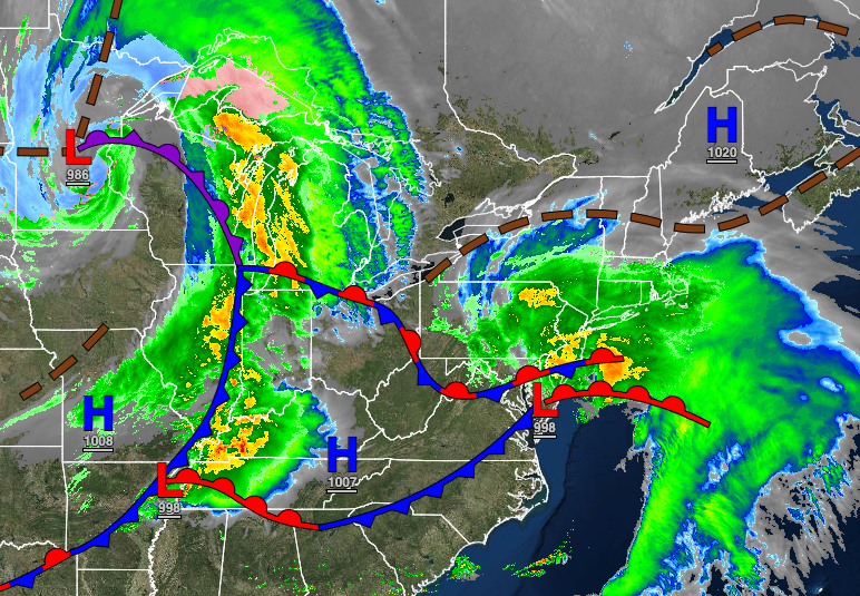
An area of low pressure will produce periods of rain, heavy at times, in the morning hours. The rain will taper off in the afternoon and evening with cloudy skies and a drizzle expected. Rainfall amounts will exceed an inch along the coast with isolated locations up to 2″ over southern New Jersey and on the immediate central New Jersey coast. Winds will be from the northeast at 5 to 15 mph with gusts over 20 mph at times, especially on the coast. Temperatures will rise into the mid to upper 50s along the coast and upper 50s to lower 60s over the interior for highs.
TONIGHT
Low clouds, drizzle, and isolated showers will linger through tomorrow morning. Winds will be from the northeast at 5 to 15 mph. Temperatures will fall into the lower to mid-40s over the interior and mid to upper 40s along the coast for lows.
TOMORROW
Another area of low pressure will approach with broken to overcast skies and drizzle in the morning giving way to moderate to heavy rainfall and embedded thunderstorms in the afternoon and evening. Rainfall amounts over 1″ are expected for much of the region. Winds will be from the east at 5 to 15 mph with gusts up to 25 mph at times. Temperatures will rise into the mid to upper 40s over the interior, lower to mid-50s in the New York City metropolitan area, and mid to upper 50s in the Philadelphia metropolitan areas for highs.
FRIDAY
Periods of rain will exit in the early morning followed by scattered clouds and lingering isolated showers in the afternoon. Winds will be from the west at 5 to 15 mph with gusts up to 20 mph at times. Temperatures will range from the lower to mid-40s over the interior and upper 40s to lower 50s along the coast for lows and mid to upper 50s over the interior and lower to mid-60s along the coast for highs.
SATURDAY
A weak cold front will follow with scattered clouds and isolated showers. Temperatures will range from the lower to mid-30s over the interior and upper 30s to lower 40s along the coast for lows and lower to mid-50s over the interior and mid to upper 50s along the coast for highs.
SUNDAY
A trough will exit the region with scattered clouds and isolated showers. Temperatures will range from the upper 20s to lower 30s over the interior and mid to upper 30s along the coast for lows and lower to mid-40s over the interior and upper 40s to lower 50s along the coast for highs.
MONDAY THROUGH WEDNESDAY
High pressure will be in control with clear skies to scattered cloud cover. Temperatures on Monday will range from the upper 20s to lower 30s over the interior and mid to upper 30s along the coast for lows and lower to mid-50s over the interior and mid to upper 50s along the coast for highs. Temperatures on Tuesday will range from the upper 30s to mid-40s for lows and mid-50s to lower 60s on Long Island, lower to mid-60s along the coast, and upper 60s to mid-70s away from the coast for highs. Temperatures on Wednesday will range from the lower to mid-50s for lows and upper 60s to lower 70s over the interior, lower to mid-70s along the coast, and mid-70s to lower 80s in the Delaware River Valley for highs.


