

The best weather of the weekend is today as periods of rain return tomorrow. An active weather pattern continues through next week with the potential for washouts on the opening day of baseball.
TODAY
A weak trough will produce scattered clouds and an isolated shower is possible in the afternoon. Winds will be from the west at 5 to 10 mph. Temperatures will rise into the upper 40s to lower 50s over the interior and lower to mid-50s along the coast for highs.
TONIGHT
Clouds will increase with rain developing after midnight. Some snow and sleet will mix with the rain for elevations over 1,000 feet but little if any snow accumulation is expected. Winds will back to the southwest at 5 to 15 mph. Temperatures will fall into the mid to upper 30s over the interior and lower to mid-40s along the coast for lows.
TOMORROW
An area of low pressure will produce periods of rain in the morning followed by clearing skies in the afternoon. Winds will be from the southwest at 5 to 15 mph. Temperatures will rise into the mid to upper 40s over the interior, upper 40s to lower 50s along the coast, and mid to upper 50s in the Delaware River Valley for highs.
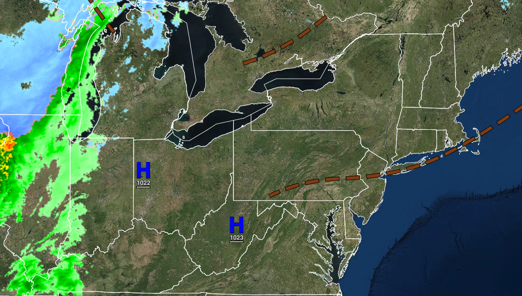
MONDAY
High pressure will produce clear skies to scattered cloud cover. Winds will be from the west at 5 to 10 mph. Temperatures will range from the lower to mid-30s for lows and lower to mid-50s over the interior and mid to upper 50s along the coast for highs.
TUESDAY
A warm front will approach the region with increasing cloud cover and isolated showers in the afternoon and evening. Temperatures will range from the upper 30s to lower 40s over the interior and mid to upper 40s along the coast for lows and upper 50s to mid-60s for highs.
WEDNESDAY
An area of low pressure will produce periods of rain throughout the day. Temperatures will range from the lower to mid-40s over the interior and upper 40s to lower 50s along the coast for lows and mid to upper 40s over the interior and lower to mid-50s along the coast for highs.
THURSDAY AND FRIDAY
A cold front will approach on Thursday with increasing clouds in the morning followed by showers and thunderstorms in the afternoon and evening. Thunderstorms will linger into Friday morning followed by clearing skies on Friday afternoon. Temperatures on Thursday will range from the lower to mid-40s for lows and mid to upper 40s over the interior and lower to mid-50s along the coast for highs. Temperatures on Friday will range from the lower to mid-40s over the interior and upper 40s to lower 50s along the coast for lows and mid to upper 50s over the interior, upper 50s to lower 60s along the coast, and lower to mid-60s in the Delaware River Valley for highs.
SATURDAY
A trough will follow with scattered to broken cloud cover along with isolated showers. Temperatures will range from the upper 30s to lower 40s over the interior and lower to mid-40s along the coast for lows and upper 40s to lower 50s over the interior and mid to upper 50s along the coast for highs.


