

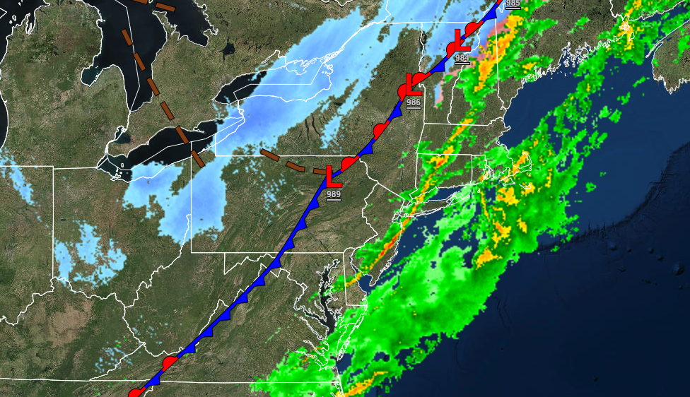
After a stormy start to the day, colder weather returns this afternoon. Chilly conditions are expected through the weekend. An active pattern returns for next week.
TODAY
The cold front will clear the coast this morning with skies clearing after 9 AM. Scattered clouds can be expected in the afternoon. Winds will be from the northwest at 10 to 20 mph with gusts up to 30 mph at times. Temperatures will fall from the 50s and 60s into the 40s, 30s, and 20s towards the evening.
TOMORROW
A weak cold front will move through the region with scattered clouds and a few isolated rain and snow showers. Winds will be from the west at 10 to 20 mph. Temperatures will range from the upper 10s to mid-20s for lows and mid to upper 30s over the interior and lower to mid-40s along the coast for highs.
SUNDAY
High pressure will produce clear skies to scattered clouds cover. Winds will be from the southwest at 5 to 10 mph. Temperatures will range from the lower to mid-10s over the interior and the upper 10s to lower 20s along the coast for lows and mid to upper 30s for highs.
MONDAY
High pressure will exit with increasing clouds expected. Temperatures will range from the upper 20s to lower 30s for lows and mid-40s to lower 50s along the coast and lower to mid-50s away from the coast for highs.
TUESDAY
A cold front will approach with increasing clouds followed by showers developing in the evening. Temperatures will range from the mid to upper 30s for lows and upper 40s to lower 50s over the interior, lower to mid-50s along the coast, and mid-50s to lower 60s in the Delaware River Valley for highs.
WEDNESDAY
A stalled cold front will produce cloudy skies with scattered showers, mixing with snow at times for the higher elevations. Temperatures will range from the lower 30s over the interior to the mid-40s along the coast for lows and upper 30s over the interior to the lower 50s along the coast for highs.
THURSDAY
High pressure will produce scattered cloud cover. Temperatures will range from the upper 20s over the interior to the upper 30s along the coast for lows and mid-30s over the interior to the upper 30s to lower 40s along the coast for highs.
FRIDAY
An area of low pressure will produce periods of rain, mixing with snow and sleet at times for the highest elevations. Temperatures will range from the mid-30s over the interior to the lower 40s along the coast for lows and upper 40s over the interior to the lower to mid-60s along the coast for highs.


