

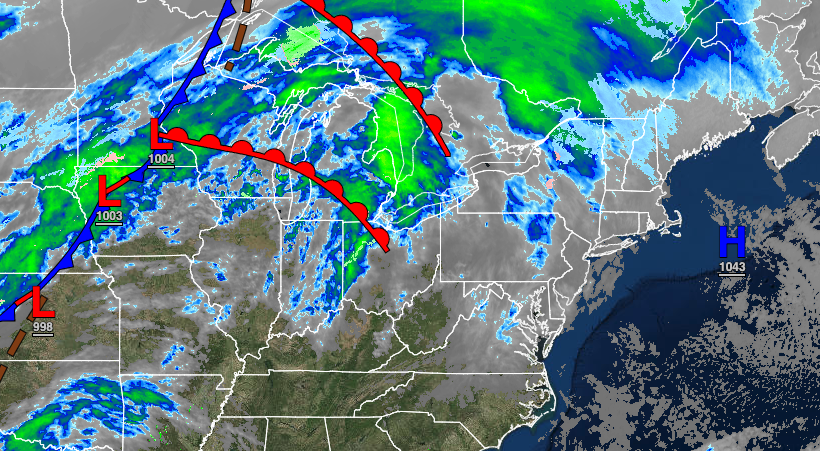
Warmer weather returns with temperatures rising above freezing with plenty of sunshine. A cold front will bring heavy rain and strong winds to the region Friday morning.
TODAY
High pressure will exit the region with increasing clouds and areas of fog possible in the morning. Winds will be from the southeast at 5 to 15 mph. Temperatures will rise into the lower 40s over the interior to the lower 50s along the coast for highs.
TOMORROW
A warm front will approach with low clouds in the morning giving way to scattered clouds in the afternoon. Periods of heavy rain with embedded thunderstorms can be expected in the evening. Winds will be from the south at 10 to 20 mph, increasing to 15 to 30 mph with gusts over 40 mph by the evening. Temperatures will range from the lower to mid-40s for lows and lower to mid-50s over the interior, mid to upper 50s along the coast, and upper 50s to mid-60s in the Delaware River Valley for highs.
FRIDAY
A powerful cold front will move through the region with periods of rain throughout the region in the morning hours. The rain will mix over to sleet and snow over the Poconos and Catskills before ending. Skies will clear in the afternoon. Winds will be from the northwest at 10 to 20 mph. Temperatures will fall through the day from the 50s, 40s, and 30s and eventually into the 20s.
SATURDAY AND SUNDAY
High pressure will produce clear skies to scattered clouds cover. Temperatures on Saturday will range from the mid-10s over the interior to the lower 20s along the coast for lows and upper 30s over the interior to the mid-40s along the coast for highs. Temperatures on Sunday will range from the single digits over the interior to the upper 10s along the coast for lows and upper 20s over the interior to the mid-30s along the coast for highs.
MONDAY
High pressure will exit with increasing clouds expected. Temperatures will range from the mid to upper 20s throughout the region for lows and upper 40s to lower 50s on the coast, lower to mid-50s over the interior, and mid to upper 50s in the Delaware River Valley for highs.
TUESDAY
A cold front will approach with increasing clouds followed by showers developing in the evening. Temperatures will range from the mid to upper 30s for lows and upper 40s to lower 50s over the interior and lower to mid-50s along the coast for highs.
WEDNESDAY
A stalled cold front will produce cloudy skies with scattered showers, mixing with snow at times for the higher elevations. Temperatures will range from the lower 30s over the interior to the mid-40s along the coast for lows and upper 30s over the interior to the lower 50s along the coast for highs.


