

The weekend will feature both Spring and Winter with well above normal temperatures today and tomorrow then light snowfall on Sunday morning.
TODAY
High pressure will pass over the region with clear skies to scattered clouds. Winds will be from the southwest at 5 to 10 mph. Temperatures will rise into the mid to upper 40s over the interior, upper 40s to lower 50s along the coast, and lower to mid-50s in the Delaware River Valley for highs.
TOMORROW
High pressure will exit the coast with scattered clouds and some morning fog. Winds will be from the southwest at 5 to 15 mph. Temperatures will range from the upper 30s to mid-40s for lows and mid-40s to lower 50s over the interior, mid to upper 50s along the coast, and mid-50s to lower 60s in the Delaware River Valley for highs.
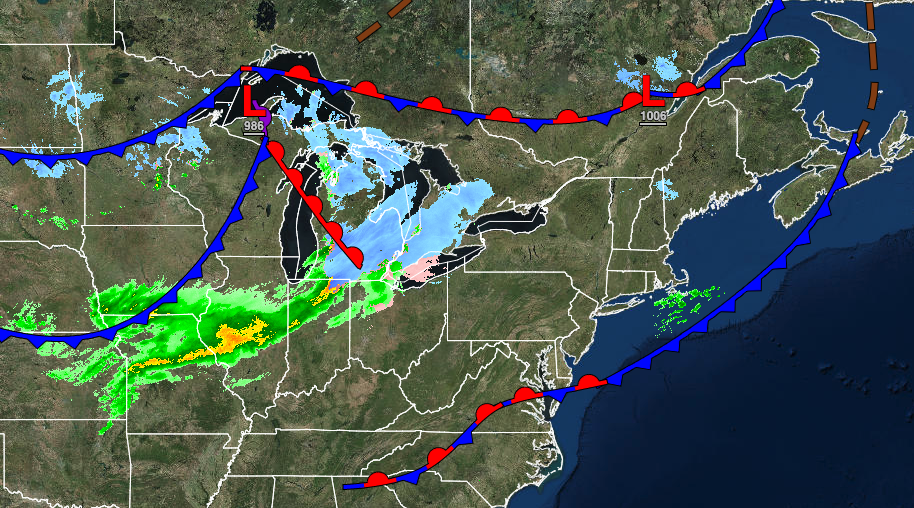
SUNDAY
A cold front with a wave of low pressure will move through in the morning hours with periods of light snow south and southeast of the I-95 corridor and snow showers along and northwest of the I-95 corridor. Snow accumulation of a trace to 2″ can be expected. Scattered clouds are expected in the afternoon and evening. Winds will veer to the northwest at 5 to 15 mph. Temperatures will range from the upper 10s to the lower 20s over the interior and mid-20s to lower 30s along the coast for lows and mid to upper 20s over the interior and lower to mid-30s along the coast for highs.
MONDAY
High pressure will build into the region with clearing skies and breezy conditions. Temperatures will range from the single digits over the interior to the mid-10s along the coast for lows and upper 10s over the interior to the upper 20s along the coast for highs.
TUESDAY
High pressure will produce clear skies to scattered clouds. Temperatures will range from the mid-10s to lower 20s for lows and mid to upper 30s over the interior and lower to mid-40s along the coast for highs.
WEDNESDAY AND THURSDAY
High pressure will exit the region with increasing clouds and fog in the morning hours. Temperatures on Wednesday will range from the mid-10s to lower 20s for lows and upper 30s to mid-40s for highs. Temperatures on Thursday will range from the lower to mid-30s for lows and lower to mid-50s along the coast and upper 50s to lower 60s away from the coast for highs.
FRIDAY
An area of low pressure and a warm front will produce periods of rain, heavy at times. Localized flash flooding will be a threat. Temperatures will range from the upper 40s to mid-50s for lows and mid to upper 50s on the immediate coast, upper 50s to lower 60s over the interior, and lower to mid-60s in the Delaware River Valley for highs.


