

Tranquil and chill this weekend. A warm-up is on the way that will bring temperatures back into the 40s and 50s for highs!
TODAY
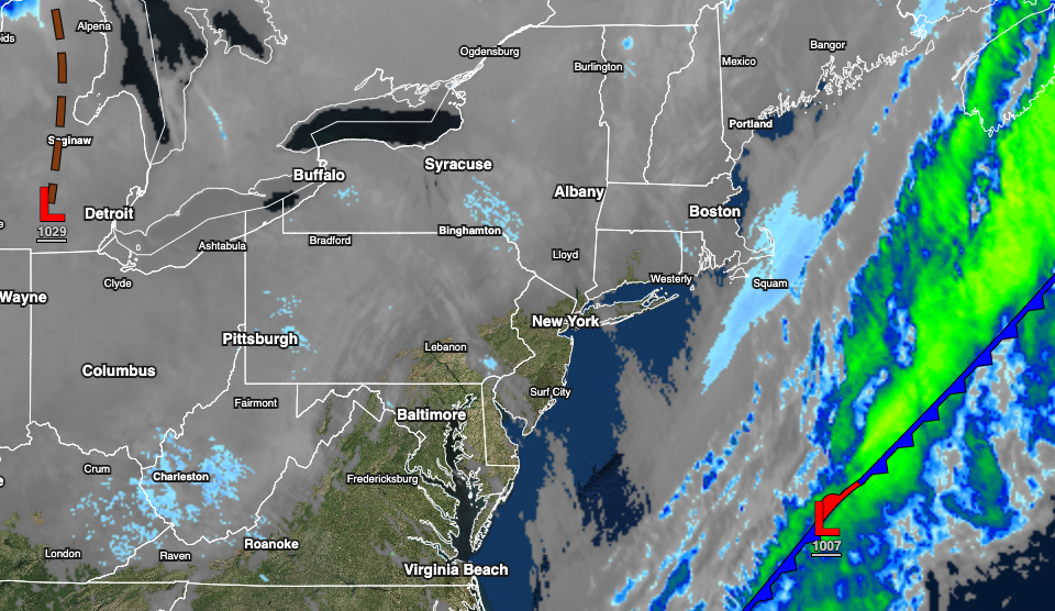
High pressure will build into the region with scattered clouds and a few snow showers possible over eastern Pennsylvania. Winds will be from the northwest at 5 to 15 mph. Temperatures will rise into the upper 10s to mid-20s over the interior and upper 20s to lower 30s along the coast for highs.
TOMORROW
High pressure will be in control with clear skies to scattered cloud cover. Winds will veer to the east at 5 to 15 mph. Temperatures will range from the negative single digits over the interior to the mid-10s along the coast for lows and mid-20s over the interior to the lower 30s along the coast for highs.
MONDAY
A trough of low pressure will develop along the coast with increasing clouds and scattered rain and snow showers. Snow accumulation of a trace to one inch will be possible in the morning hours along the coast. Winds will be from the east at 5 to 10 mph. Temperatures will range from the upper 10s over the interior to the upper 20s along the coast for lows and upper 30s over the interior to the mid-40s along the coast for highs.
TUESDAY
An area of low pressure will develop off the coast with scattered to broken cloud cover and a few isolated showers on the immediate coast. Temperatures will range from the mid-10s over the interior to the lower 30s along the coast for lows and upper 30s over the interior to the upper 40s along the coast for highs.
WEDNESDAY THROUGH SATURDAY
A series of weak troughs and cold fronts will pass through the region with scattered to broken clouds and a few isolated showers. Temperatures on Wednesday will range from the single digits over the interior to the mid-20s along the coast for lows and upper 30s to mid-40s for highs. Temperatures on Thursday will range from the mid-20s to lower 30s for lows and upper 30s over the interior to the upper 40s along the coast for highs. Temperatures on Friday will range from the upper 10s over the interior to the upper 20s along the coast for lows and lower 40s over the interior to the lower 50s along the coast for highs. Temperatures on Saturday will range from the lower 20s over the interior to the upper 30s along the coast for lows and upper 40s over the interior to the upper 50s to lower 60s along the coast for highs.


