
Milder and dry weather will remain through the end of the week. A brief arctic blast and a powerful storm follow for this weekend into early next week.
TODAY
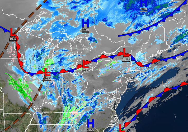
A weak cold front will pass through the region with scattered to broken cloud cover. Winds will be from the west at 5 to 15 mph. Temperatures will rise into the upper 30s to lower 40s over the interior and lower to mid-40s along the coast for highs.
TONIGHT
Clouds will increase as an area of low pressure well east of the region approaches the coastal waters. Winds will be from the northwest at 5 to 15 mph. Temperatures will fall into the lower to mid-20s over the interior and upper 20s to lower 30s along the coast for lows.
TOMORROW
An area of low pressure off the coast will produce isolated snow showers on the coast with otherwise scattered cloud cover. Winds will be from the northwest at 10 to 15 mph with gusts up to 30 mph. Temperatures will rise into the lower to mid-30s over the interior and upper 30s to mid-40s along the coast for highs.
SATURDAY
High pressure will produce scattered clouds. Winds will be from the northwest at 5 to 10 mph. Temperatures will range from the single digits below zero to the lower 10s for lows and lower to mid-10s over the interior and upper 10s to mid-20s along the coast for highs.
SUNDAY
An area of low pressure will approach the region on Sunday with increasing clouds through the day followed by periods of snow in the evening. Temperatures will range from the single digits to lower 10s over the interior and mid to upper 10s along the coast for lows and lower to mid-20s over the interior and mid-20s to lower 30s along the coast for highs.
MONDAY
The area of low pressure will move through the region on Monday with periods of heavy snow over the interior and a wintry mix of heavy snow, sleet, and rain along the coast. The exact track of the storm is still uncertain with a shift to the east or west producing significantly different results. Coastal flooding will also be a concern along with wind damage and poor visibility. Temperatures on Monday will range from the mid-10s to lower 20s for lows and upper 20s to mid-30s over the interior and mid-30s to lower 40s along the coast for highs.
TUESDAY
A series of weak troughs will produce flurries throughout the region. Temperatures will range from the lower to mid-20s over the interior and upper 20s to lower 30s along the coast for lows and mid-20s to lower 30s over the interior and mid to upper 30s along the coast for highs.
WEDNESDAY
High pressure will produce clear skies to scattered clouds. Temperatures will range from the mid to upper 10s over the interior and lower to mid-20s along the coast for lows and mid to upper 30s over the interior and lower to mid-40s along the coast for highs.
THURSDAY
A wave of low pressure over the coastal waters will produce scattered snow showers along the coast and flurries over the interior. Temperatures will range from the upper 10s to the lower 20s over the interior and mid-20s to lower 30s along the coast for lows and mid to upper 20s over the interior and lower to mid-30s along the coast for highs.


