


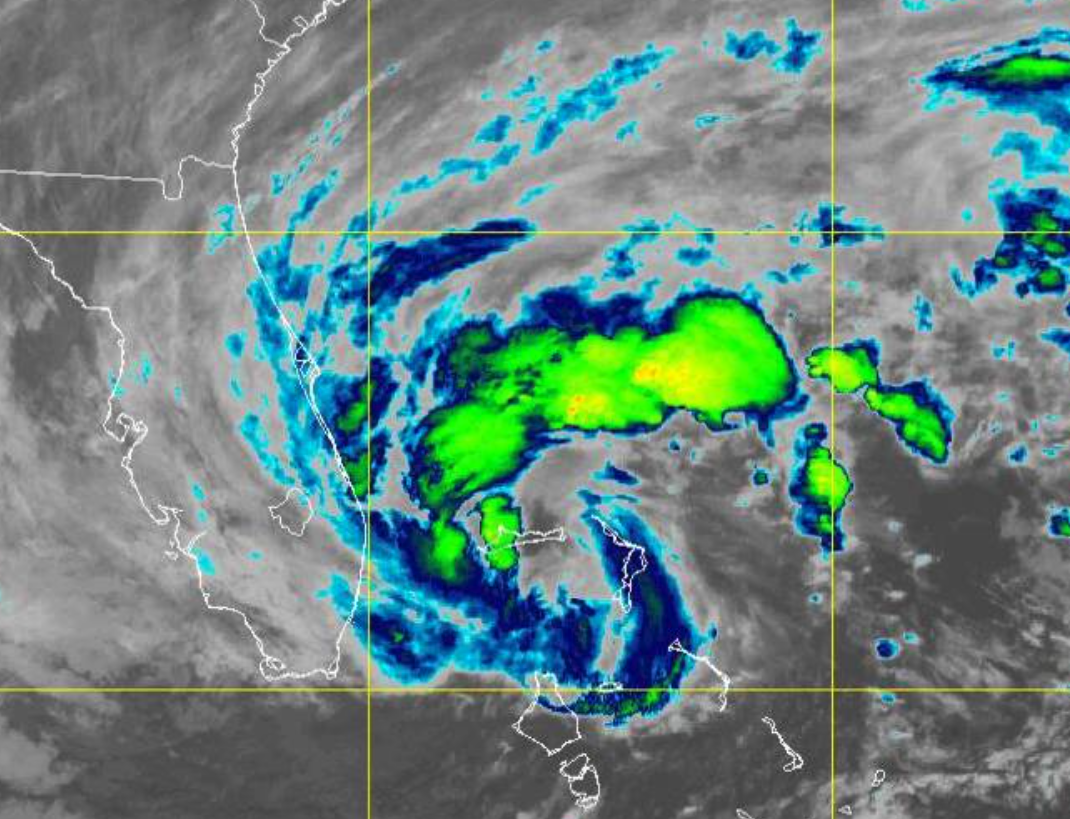
 Nicole became a hurricane this evening as of the 7 PM update and is now 100 miles to the east of West Palm Beach, Florida. Nicole is moving to the west at 13 mph and will make landfall just north of West Palm Beach between 12 AM to 2 AM. Nicole has the potential to strengthen until making landfall, but at most could reach 85 mph sustained. Nicole will make landfall as a category one hurricane with heavy rainfall and a storm surge of around 1 to 3 feet.
With the upper-level ridge to the north weakening and a deep trough approaching from the Mississippi River Valley, Nicole will turn to the northwest tonight and then track over central Florida tonight through tomorrow morning and then turn to the north tomorrow afternoon and evening through the eastern Panhandle of Florida. As Nicole moves over Florida, the storm will continue to weaken and begin to transition into an extratropical storm.
Nicole’s remnants will rapidly lift to the northeast through the southeast on Friday morning and into the Mid-Atlantic on Friday afternoon and evening. By this point, the low-pressure system will no longer have any tropical characteristics, but the strong warm air transport will act like a powerful warm front with heavy rainfall lifting through the northern Mid-Atlantic.


