

UPDATED 05/04/26 4:45 PM
Tranquil conditions through tomorrow will give way to waves of showers and a few thunderstorms by mid-week. Unsettled and cool conditions continue by the end of the week through next week.
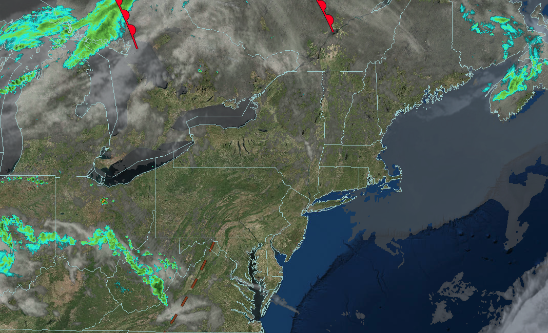
TONIGHT
High pressure will produce scattered clouds. Winds will back to the southwest at 5 to 15 mph. Low temperatures will range from the lower to mid-50s over the interior, mid to upper 50s in the suburbs, and upper 50s to lower 60s in urban areas.
TOMORROW
High pressure will produce scattered clouds. Winds will back to the southwest at 10 to 20 mph. High temperatures will range from the upper 60s to lower 70s in southeastern Long Island, mid to upper 70s in northwestern Long Island, lower to mid-80s in the Philadelphia and New York City metropolitan areas, and mid to upper 70s over the interior.
TOMORROW NIGHT
A cold front will approach the region with increasing clouds. Winds will be from the southwest at 5 to 15 mph. Low temperatures will range from the mid to upper 50s over the interior and suburbs and lower to mid-60s in urban areas.
WEDNESDAY
A cold front will approach the region with waves of showers and thunderstorms by the afternoon and evening. Winds will be from the southwest at 5 to 15 mph. High temperatures will range from the mid to upper 60s in higher elevations, lower to mid-70s over the interior, upper 70s to lower 80s in the New York City and Philadelphia metropolitan areas, lower to mid-70s in northwestern Long Island, and mid to upper 60s in southeastern Long Island.
THURSDAY
An area of low pressure and a cold front will produce periods of showers and thunderstorms. Winds will veer to the northwest at 5 to 15 mph. Low temperatures will range from the upper 30s to lower 40s in higher elevations, mid to upper 40s over the interior, and lower to mid-50s along the coast. High temperatures will range from the mid to upper 50s over the interior, lower to mid-60s in the New York City metropolitan area and northern suburbs of Philadelphia, and mid to upper 60s in the Philadelphia metropolitan area and southern New Jersey.
FRIDAY
A trough will produce scattered clouds and isolated showers. Low temperatures will range from the upper 30s to lower 40s over the interior and mid to upper 40s along the coast. High temperatures will range from the mid to upper 50s over the interior and lower to mid-60s along the coast.
SATURDAY
A trough will produce scattered clouds and isolated showers. Low temperatures will range from the lower to mid-40s over the interior and mid to upper 40s along the coast. High temperatures will range from the mid to upper 50s over the interior, lower to mid-60s in the northern suburbs of Philadelphia through the New York City metropolitan area, and upper 60s to lower 70s in the Philadelphia metropolitan area.
SUNDAY
A trough will produce scattered clouds and isolated showers. Low temperatures will range from the mid to upper 40s over the interior and lower to mid-50s along the coast. High temperatures will range from the mid to upper 60s over the interior, upper 60s to lower 70s in the northern suburbs of Philadelphia and New York City metropolitan areas, and mid to upper 70s in the Philadelphia metropolitan area.
MONDAY
A cold front and an area of low pressure will produce waves of rainfall. Low temperatures will range from the mid to upper 40s over the interior and lower to mid-50s along the coast. High temperatures will range from the lower to mid-50s over the interior and Long Island, mid to upper 50s in the New York City and Philadelphia metropolitan areas.


