

UPDATED 04/08/26 9:28 AM
Chilly conditions will linger through tomorrow, but a warmup is on the way into the weekend. No significant rainfall is expected through the next seven days.
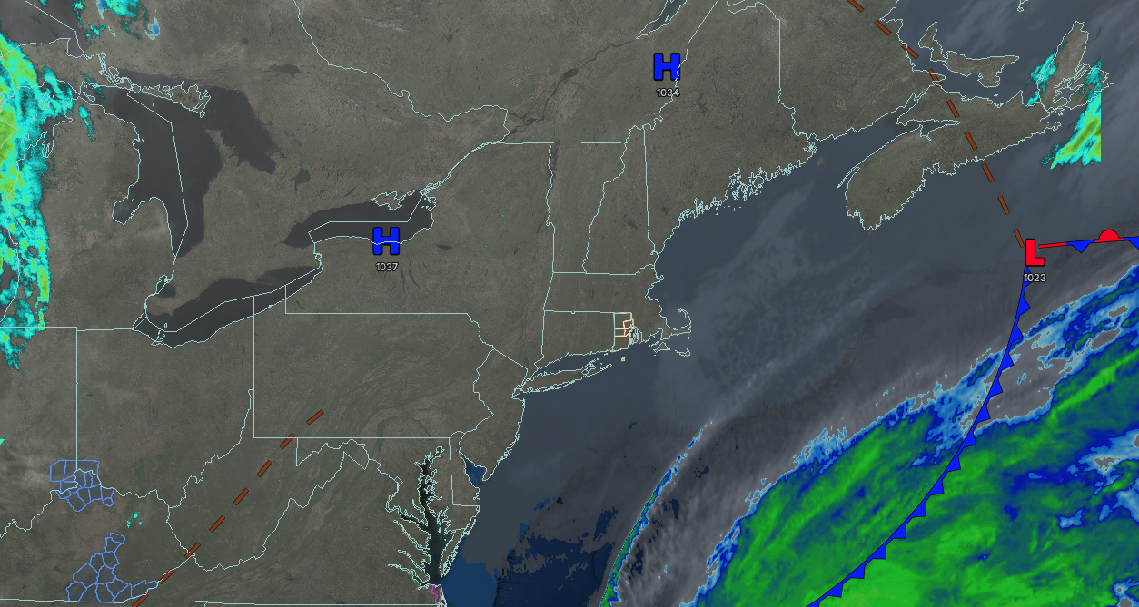
TODAY
High pressure will produce sunny conditions. Winds will be light and variable. High temperatures will range from the mid to upper 40s on southeastern Long Island and upper 40s to lower 50s for the rest of the region.
TONIGHT
High pressure will exit the region with scattered clouds. Winds will be from the southeast at 1 to 5 mph. Low temperatures will range from the mid to upper 20s over the interior, upper 20s to lower 30s in the suburbs, and lower to mid-30s in urban areas.
TOMORROW
High pressure will produce scattered clouds. Winds will be from the southeast at 5 to 10 mph. High temperatures will range from the mid to upper 40s in southeastern Long Island, upper 40s to lower 50s in northwestern Long Island, lower to mid-50s over the interior, and mid to upper 50s in the New York City and Philadelphia metropolitan areas.
TOMORROW NIGHT
High pressure will produce scattered clouds. Winds will be from the southeast at 5 to 10 mph. Low temperatures will range from the mid to upper 30s.
FRIDAY
High pressure will produce scattered clouds. Winds will be from the southwest at 5 to 10 mph. High temperatures will range from the lower to mid-50s in southeastern Long Island, upper 50s to lower 60s in northwestern Long Island, and mid to upper 60s elsewhere.
SATURDAY
A cold front will produce scattered showers in the early morning, followed by clearing skies. Winds will veer to the northwest at 5 to 15 mph. Low temperatures will range from the upper 30s to the lower 40s, mid to upper 40s in the suburbs, and upper 40s to lower 50s in urban areas. High temperatures will range from the lower to mid-50s over the interior, upper 50s to lower 60s in the New York City metropolitan area, and lower to mid-60s in the Philadelphia metropolitan area.
SUNDAY
High pressure will produce scattered clouds. Low temperatures will range from the lower to mid-30s over the interior and upper 30s to lower 40s along the coast. High temperatures will range from the mid to upper 50s over the interior, mid to upper 50s in the New York City metropolitan area, and lower to mid-60s in the Philadelphia metropolitan area.
MONDAY
A warm front will produce scattered showers and variable clouds. Low temperatures will range from the mid to upper 40s. High temperatures will range from the mid to upper 50s in southeastern Long Island, lower to mid-60s in northwestern Long Island, upper 60s to lower 70s on the immediate coast, and mid to upper 70s elsewhere.
TUESDAY
A trough will produce scattered clouds and isolated showers. Low temperatures will range from the mid to upper 50s over the interior and suburbs, and lower to mid-60s in urban areas. High temperatures will range from the lower to mid-70s in southeastern Long Island, mid to upper 70s in northwestern Long Island, lower to mid-80s in the New York City and Philadelphia metropolitan areas, and mid to upper 70s over the interior.
WEDNESDAY
A trough will produce scattered clouds and isolated showers. Low temperatures will range from the mid to upper 50s on Long Island, upper 50s to lower 60s over the interior, and lower to mid-60s on the I-95 corridor. High temperatures will range from the mid to upper 70s in southeastern Long Island, upper 70s to lower 80s in northwestern Long Island, mid to upper 70s over the interior, lower to mid-80s in the New York City metropolitan area, and mid to upper 80s in the Philadelphia metropolitan area.


