

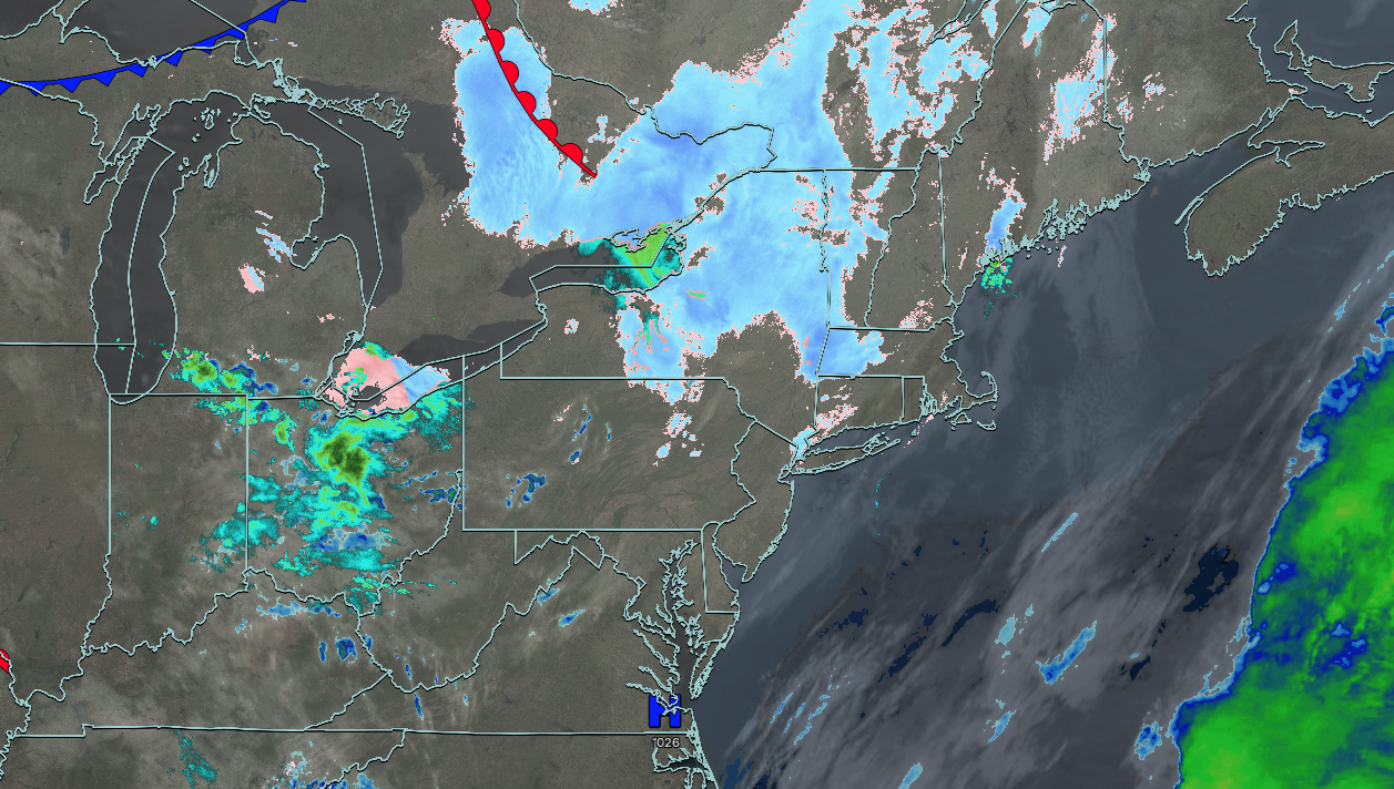
UPDATED 03/19/26 9:45 AM
Tranquil conditions will end the week, followed by a warm but unsettled weather pattern for the weekend. Unsettled conditions, but no major storms can be expected through next week.
TODAY
High pressure will produce scattered clouds. Winds will be from the south at 5 to 15 mph. High temperatures will range from the lower to mid-40s on Long Island, mid to upper 40s over the interior, and upper 40s to lower 50s on the I-95 corridor.
TONIGHT
High pressure will produce scattered clouds. Winds will be from the southeast at 1 to 5 mph. Low temperatures will range from the upper 20s to lower 30s over the interior and lower to mid-30s along the coast.
TOMORROW
High pressure will produce scattered clouds. Winds will be from the west at 1 to 5 mph. High temperatures will range from the mid to upper 40s on Long Island, lower to mid-50s over the interior and New York City metropolitan area, and upper 50s to mid-60s in the Philadelphia metropolitan area.
TOMORROW NIGHT
An area of low pressure will pass to the north of the region with scattered showers. Winds will be from the south at 5 to 10 mph. Low temperatures will range from the mid to upper 30s over the interior and lower to mid-40s along the coast.
SATURDAY
A trough will produce scattered clouds. Winds will be from the southwest at 1 to 5 mph. High temperatures will range from the lower to mid-50s over the interior, lower to mid-50s on Long Island, mid to upper 50s in the New York City metropolitan area, and upper 50s to lower 60s in the Philadelphia metropolitan area.
SUNDAY
A cold front will approach the region with increasing clouds. Showers will develop in the evening and overnight hours. Winds will be from the southwest at 5 to 15 mph. Low temperatures will range from the lower to mid-40s. High temperatures will range from the mid to upper 50s on eastern Long Island, upper 50s to lower 60s on western Long Island, mid to upper 60s over the interior and New York City metropolitan area, and lower to mid-70s in the Philadelphia metropolitan area.
MONDAY
A cold front will exit the region in the morning with scattered showers, followed by clearing skies. Low temperatures will range from the lower to mid-30s in higher elevations, mid to upper 30s over the interior, and lower to mid-40s along the coast. High temperatures will range from the upper 30s to lower 40s over the interior, mid to upper 40s in the New York City metropolitan area, and upper 40s to lower 50s in the Philadelphia metropolitan area.
TUESDAY
High pressure will produce scattered clouds. Low temperatures will range from the lower to mid-20s over the interior and mid to upper 20s along the coast. High temperatures will range from the lower to mid-40s over the interior and New York City metropolitan area and mid to upper 40s in the Philadelphia metropolitan area.
WEDNESDAY
High pressure will produce scattered clouds. Low temperatures will range from the mid to upper 20s over the interior and lower to mid-30s along the coast. High temperatures will range from the mid to upper 40s over the interior, upper 40s to lower 50s in the New York City metropolitan area, and lower to mid-50s in the Philadelphia metropolitan area.
THURSDAY
A cold front will approach the region with increasing clouds and windy conditions. Low temperatures will range from the upper 30s to the lower 40s. High temperatures will range from the mid to upper 50s over eastern Long Island, lower to mid-60s over western Long Island, mid to upper 60s in the New York City metropolitan area and the interior, and upper 60s to lower 70s in the Philadelphia metropolitan area.


