


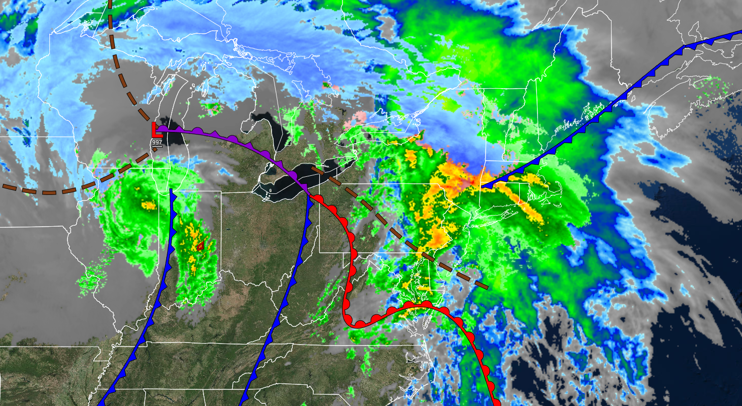
Waves of rainfall will continue through tonight. A series of storms will move through the region starting Sunday night with impacts including snow, ice, and rain.
TONIGHT
An area of low pressure will produce periods of rain through early tomorrow morning. Winds will back from the southwest to the northwest at 5 to 15 mph. Temperatures will fall into the mid to upper 30s over the interior and upper 30s to lower 40s along the coast for lows.
TOMORROW
High pressure will produce clear skies to scattered clouds. Winds will be from the west at 5 to 15 mph. Temperatures will rise into the upper 30s to lower 40s over the interior and mid to upper 40s along the coast for highs.
TOMORROW NIGHT
High pressure will produce clear skies to scattered clouds. Winds will be from the northwest at 5 to 15 mph. Temperatures will fall into the upper 20s to lower 30s over the interior and mid to upper 30s over the interior for lows.
SATURDAY
High pressure will depart with increasing cloud cover. Winds will be from the northwest at 5 to 15 mph. Temperatures will rise into the lower to mid-30s over the interior and upper 30s to lower 40s along the coast for highs.
SUNDAY
Clouds will increase through the morning. Periods of rain will develop along the coast while a mix of snow, sleet, and rain develop along and northwest of the I-95 corridor. In the Poconos, Catskills, northwestern New Jersey, Hudson River Valley, and northern Connecticut; a mix of snow and sleet with accumulation is expected in the afternoon and evening hours. Winds will back from the southeast to the northeast at 5 to 15 mph. Temperatures will range from the mid to upper 20s for lows and upper 30s to lower 40s over the interior and lower to mid-40s along the coast for highs.
MONDAY
The area of low pressure will exit the region with snow over the interior and a wintry mix of snow, sleet, and rain along the coast ending as snow showers by the afternoon. Winds will be from the northwest at 5 to 15 mph. Temperatures will range from the lower to mid-30s over the interior and mid to upper 30s along the coast for lows and lower to mid-30s over the interior and upper 30s to lower 40s along the coast for highs.
TUESDAY
Cloudy skies are expected. Temperatures will range from the lower to mid-20s over the interior and upper 20s to lower 30s along the coast for lows and upper 30s to lower 40s over the interior and lower to mid-40s along the coast for highs.
WEDNESDAY
An area of low pressure will approach with a wintry mix of snow, sleet, and rain along the coast mixing over to rain while an icy mix continues over the interior and higher elevations. Temperatures will range from the mid-10s to lower 20s over the interior and mid to upper 20s along the coast for lows and mid to upper 30s over the interior, lower to mid-40s in the suburbs, and mid-40s to lower 50s along the coast for highs.
THURSDAY
A series of troughs will produce scattered clouds and snow showers. Temperatures will fall through the 40s, 30s, and 20s throughout the day.
FRIDAY
High pressure will produce clear skies to scattered clouds. Temperatures will range from the upper 10s to the lower 20s over the interior and mid to upper 20s along the coast for lows and upper 20s to lower 30s over the interior and mid to upper 30s along the coast for highs.


