


Another day of broken cloud cover will give way to the threat of strong to severe thunderstorms by tomorrow evening. Improving weather conditions are expected for the Memorial Day Weekend.
TODAY
A warm front will lift towards the region with scattered to broken cloud cover. Winds will be from the east at 5 to 15 mph. Temperatures will rise into the mid to upper 60s along the coast and lower to mid-70s away from the coast for highs.
TONIGHT
The warm front will stall over the region with cloudy skies and isolated showers. Winds will veer to the southeast at 5 to 15 mph. Temperatures will fall into the lower to mid-60s for lows.
TOMORROW
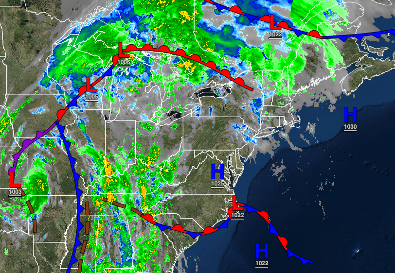
The warm front will linger over the region with scattered to broken cloud cover with widely scattered showers. A cold front will approach late in the evening with showers and thunderstorms. The thunderstorms will be capable of intense downpours, frequent lightning, hail, and wind gusts over 60 mph. Winds will be from the south at 5 to 15 mph. Temperatures will rise into the upper 60s to mid-70s along the coast, mid to upper 70s over the interior, and upper 70s to mid-80s in the Delaware River Valley for highs.
TOMORROW NIGHT
The cold front will move through the region with showers and thunderstorms. Winds will veer to the southwest at 5 to 15 mph. Temperatures will fall into the mid to upper 60s for lows.
SATURDAY
The cold front will slowly exit with showers and thunderstorms lingering in the morning over the region. Scattered clouds with isolated showers will linger in the afternoon. Winds will be from the northwest at 5 to 15 mph. Temperatures will rise into the mid to upper 60s on Long Island, upper 60s to mid-70s along the coast, mid to upper 70s over the interior, and upper 70s to lower 80s in the Delaware River Valley for highs.
SUNDAY
Scattered clouds are expected. Temperatures will range from the upper 40s to mid-50s over the interior and upper 50s to lower 60s along the coast for lows and lower to mid-70s along the coast, mid to upper 70s over the interior, and upper 70s to lower 80s in the Delaware River Valley for highs.
MEMORIAL DAY MONDAY
High pressure will build into the region with scattered cloud cover. Temperatures will range from the upper 50s to lower 60s for lows and mid-70s to lower 80s along the coast, lower to mid-80s over the interior, and mid to upper 80s in the Delaware River Valley for highs.
TUESDAY
High pressure will produce clear skies to scattered cloud cover. Temperatures will range from the mid to upper 60s for lows and mid to upper 80s along the coast and upper 80s to lower 90s away from the coast for highs. A heat index in the mid to upper 90s is expected.
WEDNESDAY AND THURSDAY
A stalling back-door cold front will produce scattered to broken cloud cover with isolated to scattered showers throughout the region. Temperatures will vary significantly around the frontal boundary. Temperatures will range from the upper 50s to mid-60s for lows and lower to mid-60s in Connecticut and Long Island, upper 60s to mid-70s along the coast, upper 70s to mid-80s over the interior, and mid-80s to lower 90s in the Delaware River Valley for highs.


