


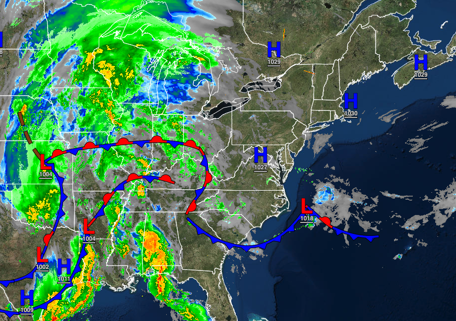
The maritime air mass from the northwestern Atlantic will keep cool conditions in place through tomorrow. An approaching cold front will bring the threat of rain for the start of the Memorial Day Weekend.
TODAY
A warm front will approach with scattered to broken cloud cover through the afternoon. Isolated to widely scattered showers will develop in the evening. Winds will be from the east at 5 to 15 mph. Temperatures will rise into the mid to upper 60s along the coast and upper 60s to lower 70s away from the coast for highs.
TONIGHT
A warm front will remain to the south with broken cloud cover and isolated showers. Winds will be from the east at 5 to 15 mph. Temperatures will fall into the lower to mid-50s for lows.
TOMORROW
The warm front will stall over the region with broken to overcast skies and widely scattered showers. Winds will be from the southeast at 5 to 15 mph. Temperatures will rise into the mid to upper 60s along the coast and lower to mid-70s away from the coast for highs.
TOMORROW NIGHT
Low clouds and fog, along with widely scattered showers, can be expected. Winds will be from the southeast at 5 to 15 mph. Temperatures will fall into the lower to mid-60s for lows.
FRIDAY
The warm front will linger over the region with scattered to broken cloud cover with widely scattered showers. A cold front will approach late in the evening with showers and thunderstorms. The thunderstorms will be capable of intense downpours, frequent lightning, hail, and wind gusts over 60 mph. Winds will be from the south at 5 to 15 mph. Temperatures will rise into the upper 60s to mid-70s along the coast, mid to upper 70s over the interior, and upper 70s to mid-80s in the Delaware River Valley for highs.
SATURDAY
The cold front will slowly exit with showers and thunderstorms lingering in the morning over the region. Scattered clouds with isolated showers will linger in the afternoon. Temperatures will range from the mid to upper 60s for lows and mid to upper 60s on Long Island, upper 60s to mid-70s along the coast, mid to upper 70s over the interior, and upper 70s to lower 80s in the Delaware River Valley for highs.
SUNDAY
Scattered clouds are expected. Temperatures will range from the upper 40s to mid-50s over the interior and upper 50s to lower 60s along the coast for lows and lower to mid-70s along the coast, mid to upper 70s over the interior, and upper 70s to lower 80s in the Delaware River Valley for highs.
MEMORIAL DAY MONDAY
High pressure will build into the region with scattered cloud cover. Temperatures will range from the upper 50s to lower 60s for lows and lower to mid-70s along the coast and upper 70s to lower 80s away from the coast for highs.
TUESDAY
High pressure will produce scattered cloud cover. Temperatures will range from the upper 50s to lower 60s for lows and upper 60s to lower 70s on Long Island, mid to upper 70s along the coast, and lower to mid-80s away from the coast for highs.
WEDNESDAY
High pressure off the coast will produce fog in the morning and hazy, hot, and humid conditions in the afternoon. Temperatures will range from the lower to mid-60s over the interior and mid to upper 60s along the coast for lows and upper 80s to lower 90s over the interior and along the coast and lower to mid-90s in the Delaware River Valley for highs.


