


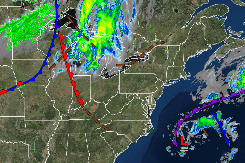
A storm over the western Atlantic will keep conditions unsettled on the coast, with windy conditions and an isolated shower a threat.
TODAY THROUGH TOMORROW
An area of low pressure will continue to linger off the coast with scattered clouds and a few isolated showers on the immediate coast. Minor coastal flooding will remain a threat to the region. Winds will be from the east at 5 to 15 mph away from the coast and 10 to 20 mph with gusts over 30 mph along the coast. Temperatures will rise into the mid to upper for highs this afternoon. Temperatures tomorrow will range from the lower to mid-40s for lows and lower to mid-60s along the coast and upper 60s to lower 70s away from the coast for highs.
THURSDAY
A warm front from the Atlantic Ocean will approach the region with increasing clouds throughout the day and isolated to widely scattered showers towards evening. Winds will be from the northeast at 5 to 15 mph. Temperatures will range from the lower to mid-50s for lows and upper 60s to lower 70s along the coast and lower to mid-70s away from the coast for highs.
FRIDAY THROUGH SATURDAY
A coastal warm front will slowly approach from the Atlantic Ocean with scattered to broken cloud cover and isolated showers over the interior and scattered showers along the coast. Temperatures on Friday will range from the mid to upper 50s for lows and lower to mid-70s for highs. Temperatures on Saturday will range from the mid-50s to lower 60s for lows and upper 60s to lower 70s along the coast and lower to mid-70s away from the coast for highs.
SUNDAY
A cold front will approach from the west with scattered showers and isolated thunderstorms. Temperatures will range from the upper 50s to lower 60s for lows and upper 60s to lower 70s along the coast, and mid to upper 70s away from the coast for highs.
MONDAY
The cold front will move through the region with widely scattered showers. Temperatures will range from the mid-50s to lower 60s for lows and upper 60s to lower 70s along the coast and mid to upper 70s away from the coast for highs.
TUESDAY
A weak trough will pass through the region with scattered clouds and a few isolated showers. Temperatures will range from the mid to upper 40s over the interior and lower to mid-50s along the coast for lows and upper 50s to lower 60s over the interior and mid to upper 60s along the coast for highs.


